
Geospatial Technology
E N D
Presentation Transcript
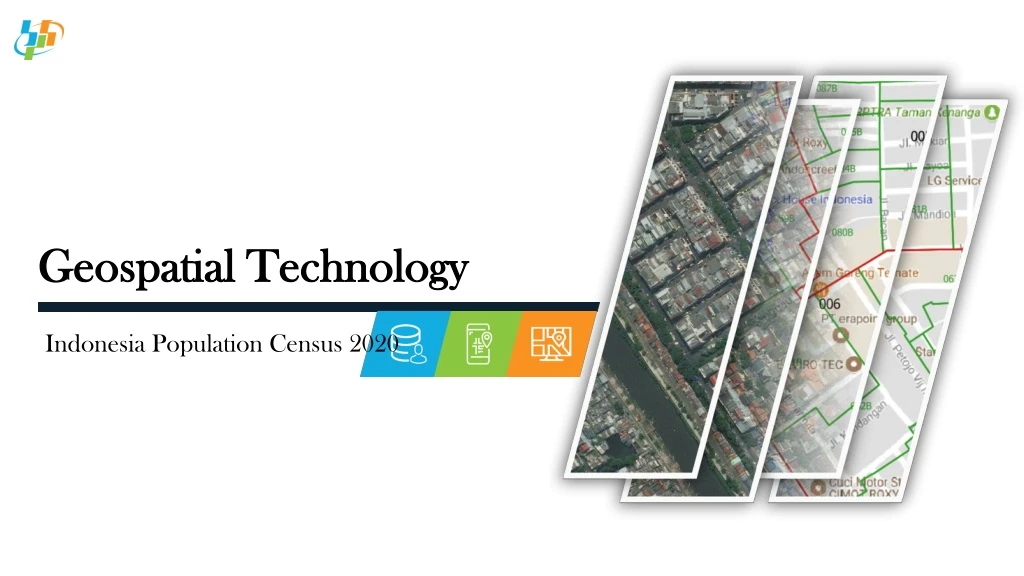
Geospatial Technology Indonesia Population Census 2020
Indonesia Statistical Area Province Municipal District Census Block Village
Geospatial for Population Census2010 vs 2020 • Using sketch maps to aid enumerator to identify Census Block; • Enhance quality of digital maps; • Delineating Census Block boundary based on digital images (satellite imagery); • Digital images were limited. • Overlaying digital maps and Google Road to produce paper map; • Using digital maps to aid enumerator to identify Census Block; • Embedding the digital maps in a mobile application; • Collecting Geotag photos of buildings in Census Block (CAPI). 2010 2020
Census Block Map2010 & 2020 2010 2020
The Integration of Census Activity and Geospatial Pre enumeration • Preparation of Census Block Maps. 2018-2019 2020 2021 Enumeration • Optimization of digital maps to identify the Census Block using mobile application; • Collecting of building locations. Post Enumeration • Developing of web GIS for dissemination. • Utilizing digital maps for other census and survey activities.
Activity in 2018 • Updating digital map based on digital images (Google satellite, SPOT, etc.) and sketch maps; • Establishing Ground truth position and boundary of sample census blocks; • Overlaying between updated digital map and Google Street to produce paper maps.
Activity in 2019 Process: • Establishing Ground truth position and boundary of all census blocks; • Counting of census buildings in each census block; • Geotaging landmarks (Census Block POI and infrastructure); • Updating digital map, delineating census block boundaries based on ground truth; • Overlaying between updated digital map and Google Street to produce paper maps. Output: • Updated digital map; • Geotagged photos of Census Block POI; • Geotagged photos of infrastructure landmark; • Paper maps of Census Block.
Challenges • The applications are not integrated • The applications use different Databases (silo); • Distribution of Census Block Master to each application by export/import manually; • CAPI application is not support for digital map.
Propose Solutions • Upgrading the system in order to integrate data transactions; • Developing a mechanism to automate proses of data integration; • Developing a mobile application for geospatial data (digital map), as an aid for the enumerator to identify his/her area; • Developing standardization of attributes in order to simplify the updating process.