Download
1 / 12
130 likes | 222 Vues
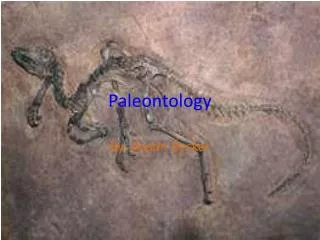
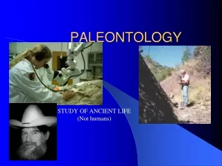
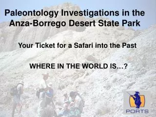
Paleontology Investigations in the Anza-Borrego Desert State Park. WHERE IN THE WORLD IS…?. Your Ticket for a Safari into the Past. Our Earth as photographed by the Apollo 17 astronauts. Our Area of Interest. Salton Sea. Gulf of California. Baja California.

E N D
Paleontology Investigations in the Anza-Borrego Desert State Park WHERE IN THE WORLD IS…? Your Ticket for a Safari into the Past
Salton Sea Gulf of California Baja California Southwestern Region of North America
Salton Sea Borrego Badlands Salton Trough Area The Salton Trough & the Borrego Badlands STS51F-038-0045 Southern California, U.S.A., and Northwestern Mexico August 1985 Earth Sciences and Image Analysis, NASA-Johnson Space Center. 20 May 2004. "The Gateway to Astronaut Photography of Earth: Find Photos." <http://eol.jsc.nasa.gov/sseop/clickmap/
Plate Tectonics of the Eastern Pacific Ocean CLICK HERE TO GO TO THE WEB AND DOWNLOAD THIS ANIMATION http://animations.geol.ucsb.edu/download/pacnorth.php
Plate Tectonics of Western North America CLICK HERE TO GO TO THE WEB AND DOWNLOAD THIS ANIMATION http://animations.geol.ucsb.edu/download/pacnorth.php
Plate Movement Data from the Scripps Orbit and Permanent Array Center at UCSD
Faults & Features in the western Salton Trough & San Jacinto Fault Zone CCF Coyote Creek Fault SAF San Andreas Fault SFH San Felipe Hills fault SM Superstition Mountain CM Coyote Mountain FP Fonts Point Modified from Derek W. Ryter, Late Pleistocene Kinematics of the Central San Jacinto Fault Zone, Southern California, PhD.University of Oregon. 2002.
Borrego Badlands Topographical Map of the Borrego Valley
Borrego Badlands Aerial Photograph of Borrego Valley