Download
1 / 18
180 likes | 366 Vues
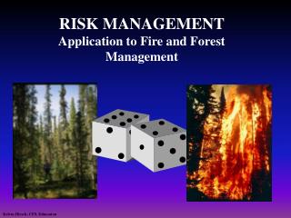
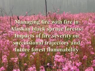
An example of a fire risk applied to Portugal: Forest Fire Combined Risk Index (ICRIF) Lourdes Bugalho, IPMA. Polar Satellites Week EUMETRAIN ( 5 to 9 November 2012 ). Outline. Why a forest fire risk index

E N D
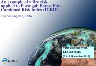
An example of a fire risk applied to Portugal: Forest Fire Combined Risk Index (ICRIF) Lourdes Bugalho, IPMA Polar Satellites Week EUMETRAIN (5 to 9 November 2012)
Outline • Why a forest firerisk index • Advantage of the spatial resolution of low orbit polar (NOAA(EPS) /AVHRR) compared with GEO satellites system (MSG/SEVIRI) - Factors of Forest Fire • Forest Fire Risk Indexes: • Fire Weather Index (FWI) • Forest Fire Combined Risk Index (ICRIF)
Why a forest fire risk index ? Forest fires are one of the most devastating natural disasters that occur in mainland Portugal in the summer, with an impact on the economy, environment and climate.
Spatial resolution of LEO vs. GEO satellites • Low flight altitude leads a higher ground resolution than geostationary satellites. • Over Portugal, the number of pixels is: -123882 AVHRR(NOAA/EPS) - 5899 SEVIRI (MSG).
Spatial resolution of LEO vs. GEO satellites ICRIF (Combined Fire Risk Index) Spatial Resolution 1.1 x 1.1 km (AVHRR/NOAA) FRM (Fire Risk Map - LSASAF) Spatial Resolution ~ 4 x 4 km (SEVIRI/MSG) 28 AUGUST 2012
Spatial resolution of LEO vs. GEO satellites ICRIF (Combined Fire Risk Index) Spatial Resolution 1.1 x 1.1 km (AVHRR/NOAA) FRM (Fire Risk Map - LSASAF) Spatial Resolution ~ 4 x 4 km (SEVIRI/MSG) 28 AUGUST 2012
ICRIF ICRIF Vegetation conditions NDVI Risk associated to a Veg. index Meteorological conditions FWI (Canadian Fire Weather Index) Land cover - Structural Risk Risk associated to aland cover map (CORINE) Computed once a year on the beginning of the fire season
FWI - Canadian Fire Weather Index • recommended by • European Commission 1995 • calculated in 85 stations • parameters required: air temperature, • relative humidity, • wind direction and velocity at 10m, • rainfall in the last 24 hours • performs very good compared • with several other indices FWI is spatialized to grid the AVHRR / NOAA or EPS images (aprox.1.1kmx1.1km)
FWI spatialized to 1.1 x 1.1 km FWI - 20120829 FWI - 20120828
CLC 2000: polar satellites used : SPOT-Panchromatic channel, resolution 10x10 m Landsat–MSS (sensor), resolution 80x80 m Spatial resolution of CORINE Land Cover 2000 (100 x 100m) Land cover and vegetation type map made from CORINE 2000 database Structural risk – Land Cover Structural risk level for fire ignition and propagation: processed by scaling CORINE 2000 with resolution of 1.1 km (AVHRR resolution at nadir)
CORINE Land Cover 2000 Land Cover Classification – 42 classes Risk factor
Structural Risk • Each NOAA pixel is represented by a vector with 42 elements, giving the area occupied by each of the CORINE components. 1.1 km CORINE resolution = 100m x 100m Ak * Rk Each NOAA pixel contain information about all 42 classes 1.1 km Vector = [A1*R1 ..... A42*R42] • The structural risk was built assigning a risk to each of the classes (Rk) • The final structural risk (FUELRISK) for each pixel is a combination of the different risk pondered by the corresponded area FUELRISK = (Ak * Rk)
From CORINE to Structural Risk Structural risk CLC 2000 (Ak * Rk)
NDVI AVHRR/NOAA • the best satellite angle • a passage over Portugal between 11-15 UTC - zenith solar angle less than 50º (between May and October) • shift composite of 10 days NDVI computed considering the maximum value of NDVI in 10 days 28 August 2012 CH1(VIS):0.58-0.68 m CH2(NIR): 0.725-1.1 m • Spatial resolution 1.1 x 1.1 km
ICRIF 28 AUGUST 2012
ICRIF validationof a fire risk: • linking forest fire events (number and burnt areas) with the risk • Daily comparison between risk and burnt area for each district • Contingent table for each district • not easy
References Bugalho, L., Pires, V., 2005 – “Monthly Analyse of NDVI at Portugal and their Relationship with Soil Water Balance “– Proceeding of 4ª Simpósio de Meteorologia e Geofísica da APMG, 14 a 17 Fevereiro 2005. Bugalho, L., Pessanha, L., 2007 – “Análise e validação do Índice de Risco de Incêndio Florestal” – Proceeding of 5º Simpósio de Meteorologia e Geofísica da APMG, 5 a 8 Fevereiro 2007. Bugalho, L. and Pessanha, L., 2007: “The forest fire risk index (ICRIF) operational processing and validation”. 4th International Wildland Fire Conference, 13th-17th May 2007, Seville, Spain. Bugalho, L., Pessanha, L., 2009 - “Análise Estatística dos Incêndios Florestais em Portugal e Avaliação do Índice ICRIF”- Territorium nº16 2009 Rev. da Associação Port. de Riscos Prevenção e Segurança