Download
1 / 1

E N D
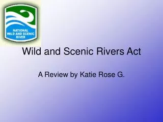
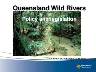
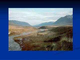
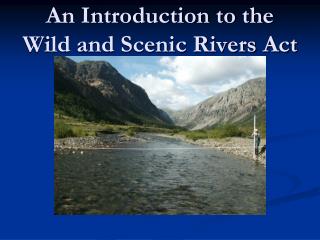
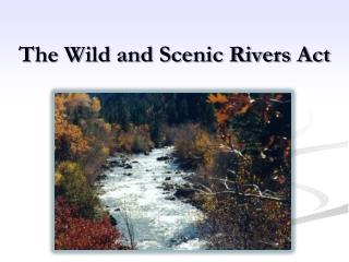
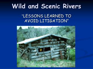
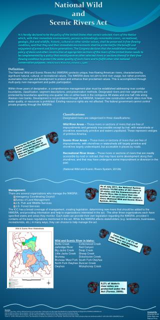
National Wild and Scenic Rivers Act It is hereby declared to be the policy of the United States that certain selected rivers of the Nation which, with their immediate environments, possess outstandingly remarkable scenic, recreational, geologic, fish and wildlife, historic, cultural or other similar values, shall be preserved in free-flowing condition, and that they and their immediate environments shall be protected for the benefit and enjoyment of present and future generations. The Congress declares that the established national policy of dams and other construction at appropriate sections of the rivers of the United States needs to be complemented by a policy that would preserve other selected rivers or sections thereof in their free-flowing condition to protect the water quality of such rivers and to fulfill other vital national conservation purposes.(Wild & Scenic Rivers Act, October 2, 1968) Definition: The National Wild and Scenic Rivers Act (NWSRA) protects unique, free-flowing American rivers, characterized by significant natural, cultural, or recreational values. The NWSRA does not aim to limit river usage, but rather promotes sustainable river use and development to protect and enhance their proclaimed values. This is accomplished through multi-party river management and public participation. Within three years of designation, a comprehensive management plan must be established addressing river corridor boundaries, classification, segment descriptions, and preservation methods. Designated rivers and river segments are protected by boundaries spanning one-quarter mile on either bank in the contiguous 48 states and one-half mile along Alaskan river banks. Development is not prohibited through the NWSRA, however new construction which alters river flow, water quality, or resources is prohibited. Existing resource rights are not affected. The federal government cannot control private property through the NWSRA. Classifications: Designated rivers are categorized in three classifications: Wild River Areas – Those rivers or sections of rivers that are free of impoundments and generally inaccessible except by trail, with watersheds or shorelines essentially primitive and waters unpolluted. These represent vestiges of primitive America. Scenic River Areas – Those rivers or sections of rivers that are free of impoundments, with shorelines or watersheds still largely primitive and shorelines largely undeveloped, but accessible in places by roads. Recreational River Areas – Those rivers or sections of rivers that are readily accessible by road or railroad, that may have some development along their shorelines, and that may have undergone some impoundment or diversion in the past. (National Wild and Scenic Rivers System, 2012b) Among the Rockies states, Idaho contains the most river miles designated as Wild and Scenic (562 miles) (Turner, 2009). As of July 2011, the National System protects 12,598 miles of 203 rivers in 39 states and the Commonwealth of Puerto Rico; this is more than one-quarter of one percent of the nation's rivers (National Wild and Scenic Rivers System, 2012a). • Management: • There are several organizations who manage the NWSRA: • Interagency Coordinating Council • Bureau of Land Management • U.S. Fish and Wildlife Services • U.S. Forest Services • The ICC has a broad coverage of management, creating legislation, determining new rivers that should be added to the NWSRA, and providing information and help to organizations interested in the act. The other three organizations each have specified states and areas they monitor. Each state can provide their own legislation regarding the NWSRA, provided it contains all the basic regulations mentioned in the act. While the NWSRA affects stakeholders (e.g. landowners, businesses, recreationists, etc.) in many ways, they can choose to help manage the act. Less than ¼ of 1% of our rivers are protected under the NWSRA • Wild and Scenic River in Idaho: • Battle Creek Cottonwood Creek • Jarbridge River Red Canyon • Big Jacks Creek Deep Creek • Little Jacks Creek Sheep Creek • Bruneau Dickshooter Creek • Bruneau West Fork South Fork Owyhee • North Fork Owyhee Duncan Creek • Owyhee Wickahoney Creek 6.2% of Idaho’s river miles are protected under the Act (Turner, 2009). http://www.idwr.idaho.gov/WaterManagement/WaterRights/Wild_Scenic/WildScenic.htm Sources: Friends of the River. (2012). Wild and scenic river preservation. Retrieved from http://www.friendsoftheriver.org/site/PageServer?pagename=FORNationalWildScenic National Wild and Scenic Rivers System. (2012a). A national system. Retrieved from http://www.rivers.gov/rivers/wsr-act.php National Wild and Scenic Rivers System. (2012b). About the WSR Act. Retrieved from http://www.rivers.gov/rivers/wsr-act.php Turner, S. (2009). Wild and scenic rivers: The importance of federal river protection in the Rockies. Retrieved from http://www.coloradocollege.edu/dotAsset/eac98a13-1d66-48e4-885f-e3b8d88632c2.pdf Created By: Amanda Smith Erika Ikstrums Rahcel Price