Download
1 / 13
130 likes | 364 Vues
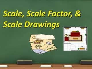
4-10 Scale Drawings and Scale Models. Scale drawings are a proportional two-dimensional drawing of an object. Its dimensions are related to an actual object by a ratio called the scale factor.

E N D
4-10 Scale Drawings and Scale Models
Scale drawings are a proportional two-dimensional drawing of an object. Its dimensions are related to an actual object by a ratio called the scale factor.
Scale factors are easier to work with when they are in fraction form. Using the same example of the map, we would have 1/100.
An example would be a map of the state of Florida. The map has a SCALE that tells you (as an example) 1”:100 m That means for every inch on the map, you would travel 100 miles.
When writing a scale factor, you put the model over the real measurements. With our map, we have the 1” for the model over 100 miles for the real land.
Let’s try an example of a photo: We have a height of 8 inches but in real life, the person is 6 feet tall. The scale would be 8”/6’ or reduced down to 4”/3’.
On a map of Florida the distance between Hialeah and Tamp is 10.5 cm. The map scale is 3cm:128 KM. What is he actual distance “d” between these two cities? Model 3 = 10.5 Real 128 d
Now solve like you normally do by cross multiplying: 3 = 10.5 128 d 3 * d = 10.5 * 128 3d = 1344 d = 488 km Between the 2 cities.
How can you tell if the scale factor is for an enlargement or for a reduction? If the scale factor “fraction” is SMALLER than 1 whole, it is a reduction. If it is LARGER than 1, it is an enlargement.
So the scale factor for a map is 1”/100 miles or 1/100…that is SMALLER than 1 so it is a reduction of the original item. The “model” is smaller than the real state of Florida.
Can we have something made bigger? Think about your science class….what can we make bigger?
Get your workbooks and let’s practice. Let’s work on example 1 on page 207.
Homework Due Tuesday: Workbook page 211, problems 1 - 8