Download
1 / 38
390 likes | 602 Vues
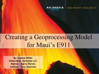
Creating a Geoprocessing Model for Maui’s E911. By Shanoa Miller Internship: Akimeka LLC Mentor: Maria Nieves Advisor: Tony Ramirez. Outline. Enhanced 911 (E911) Akimeka’s Role Project Goal Model Structure Final Results Next Steps Civil Defense Mini Project Final Facts about E911.

E N D
Creating a Geoprocessing Model for Maui’s E911 By Shanoa Miller Internship: Akimeka LLC Mentor: Maria Nieves Advisor: Tony Ramirez
Outline • Enhanced 911 (E911) • Akimeka’s Role • Project Goal • Model Structure • Final Results • Next Steps • Civil Defense Mini Project • Final Facts about E911
Enhanced 911 • 60% of 911 calls are from wireless phones • Old 911 system could not “map” wireless calls • Geographical Information System-based program • Uses GIS information to locate wireless 911 calls
What is GIS? • Geographical Information Systems (GIS):A system of hardware and software used for storage, retrieval, mapping, and analysis of geographic data.
How it works Screen from a Land Line Call Screen from a Wireless Call
How it works Map of Wireless Emergency Call
Akimeka’s Role • Update GIS layers in 911 database for Maui, Hawaii, and Kauai Counties • Offer solutions and troubleshooting for the 911 center
Akimeka’s Role • 911 Centers need frequent updates • Maui County does not have the man power to create GIS layers • Maui County has not been able to update new Subdivision Parcels since 2006 • Akimeka must find other solutions
Project Goal • Create a Geoprocessing Model in ArcGIS, that will automatically update existing data layers in the 911 database • Geoprocessing is a GIS operation that manipulates and/or creates GIS data
Next Steps for Parcel Updates • Geographical Benchmark: A surveyor's mark made on a stationary object of previously determined position and elevation and used as a reference point in tidal observations and surveys.
Civil Defense Mini Project • Create a Database and Map for the Hawaii Civil Defense
Wireless 911 Fact • Maui County was the first county in Hawaii to implement this system. • There are 3,142 Counties in the United States, but fewer than 400 currently have the capabilities the County of Maui possesses today.
Thank You ▪Akamai Internship Program Lisa Hunter Scott Seagroves Lynne Raschke Lani Lebron Center for Adaptive Optics Akamai Workforce Initiative Maui Akamai 2008 Interns ▪ Others Akimeka GIS User Group Dave Harrington Ryan Montgomery Mark Pitts Isar Mostafanezhad Sarah Sonnet ▪Akimeka, LLC. Maria Nieves Robin Noa Tony Ramirez Tommy Takeshita Deanna Garcia Matt Granger The Akamai Maui Internship Program is funded by the Center for Adaptive Optics through its National Science Foundation Science and Technology Center grant (#AST-987683) and by grants to the Akamai Workforce Initiative from the National Science Foundation and Air Force Office of Scientific Research (both administered by NSF, #AST-0710699) and the University of Hawaii.
Any Questions? Thank you for listening.