Download

1 / 36
390 likes | 487 Vues
Explore the vast expanse of Africa through its diverse landscapes, water bodies, deserts, and natural resources. Learn about the continent's major rivers, mountains, climates, and unique features.

E N D
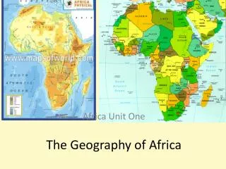
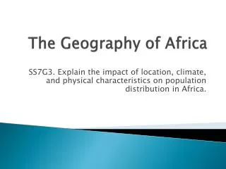
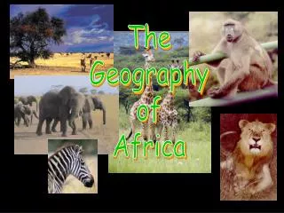
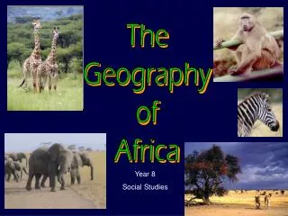
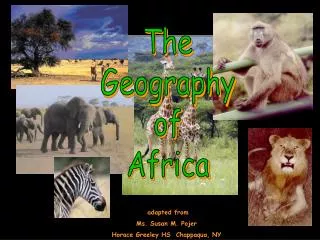
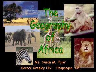
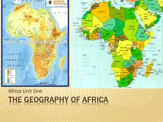
The Geography of Africa
Africa’s Size 4 6 0 0 M I L E S 5000 MILES • Second largest continent 11,700,000 sq. mi. • 10% of the world’s population. • 2 ½ times the size of the U. S.
Mediterranean Sea Bodies Of Water Red Sea NileRiver NigerRiver L. Chad--> <--Gulf of Aden L. Albert--> Congo River L. Victoria L. Tanganyika-> Indian Ocean Atlantic Ocean Zambezi River LimpopoRiver OrangeRiver Pacific Ocean
The Congo River Basin • Covers 12% of thecontinent. • Extends over 9countries. • 2,720 miles long. • 99% of the countryof Zaire is in theCongo River basin.
The Niger River Basin • Covers 7.5% of the continent. • Extends over 10 countries. • 2,600 miles long.
River Basin • A river basin is an extent or area of land where surface water from rain and melting snow or ice converges to a single point, usually the exit of the basin, where the waters join another water body, such as a river, lake, sea, or ocean. • The drainage basin acts as a funnel by collecting all the water within the area covered by the basin and channeling it to a single point
Atlas Mts. Mountains & Peaks ΔMt. Kenya ΔMt. Kilimanjaro Ruwenzori Mts. Drajensburg Mts.
Libyan Desert Deserts Sahara Desert Sahel Namib Desert Kalahari Desert
Desertification The process by which fertile land becomes desert, typically as a result of drought, deforestation, or inappropriate agriculture
Tropic of Cancer 20° N Africa:The“Tropical”Continent Equator 0° Tropic of Capricorn20° S
African Rain Forest • Annual rainfall of up to 17 ft. • Rapid decomposition (very humid). • Covers 37 countries. • 15% of the land surface of Africa.
Mediterranean Sea Atlas Mts. Libyan Desert The Complete Topography Of AFRICA Tropic of Cancer 20° N Sahara Desert Red Sea Sahel NileRiver NigerRiver L. Chad--> Great Rift Valley <--Gulf of Aden L. Albert--> ΔMt. Kenya Equator 0° Congo River L. Victoria ΔMt. Kilimanjaro L. Tanganyika-> Indian Ocean Ruwenzori Mts. Atlantic Ocean Zambezi River Namib Desert Kalahari Desert LimpopoRiver Tropic of Capricorn20° S OrangeRiver Drajensburg Mts. Pacific Ocean
Religions of Africa Traditional African Religion Islam Christianity
Nigeria: • Problems: • Population boom (7th largest in world), poor healthcare, living conditions, and sanitation, lack of clean drinking water, poor education system • Federal Constitutional Republic • 36 states • Two branches (President and Two House Legislature • East & Central Africa’s biggest economy • Mixed economy (liberal market) • Emerging market • 37th largest economy in world • Oil rich nation • Minerals, Agriculture, Telecommunications, Financial services, and manufacturing
Kenya: • Problems: • Poor infrastructure, boom & bust economy, starvation, illiteracy, border attacks, poor leadership, and lack of healthcare • Presidential representative democratic republic • Three branches and multi-party system • East & Central Africa’s biggest economy • Mixed economy (liberal market) • Eco-tourism (govt. preserves lands to promote tourism to boost economy) • Agriculture 75% and Industry 16%
Ethiopia: • Federal Parliamentary Republic • Prime Minister & two chamber parliament • Recent argument they are authoritarian • Fastest growing non-oil dependent African nation • 2nd largest population in Africa (biggest in east Africa) • 1980’s and 2010 severe drought and crop loss = famine
Somalia: • Since the 1991 civil war there has been no central govt. or govt. control over territory • Transitional Federal Gov’t, controls tiny portion • Considered a failed state • One of the poorest and violent nations in world • U.S. and U.N. intervene with aide • Informal economy based on • livestock and agriculture
Democratic Republic of the Congo (Zaire): • Semi-presidential Republic • 1st Congo Civil War (1996-1997) • 2nd Congo Civil War (1998-2003) • Richest nation in world in natural resources • Among the poorest nations in world (2nd lowest world GDP) • Facts: • 2nd largest nation in area in Africa (11th in world) • 4th most populated nation ion Africa (18th in world) • formerly, in chronological order, the Congo Free State, Belgian Congo, Congo-Léopoldville, Congo-Kinshasa, and Zaire