Download
1 / 40
400 likes | 601 Vues
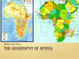
The Geography of Africa. A Satellite View. Africa’s Size. 4 6 0 0 M I L E S. 5 0 0 0 M I L E S. Second largest continent 11,700,000 sq. mi. 10% of the world’s population. 2 ½ times the size of the U. S. African Geography. What do you know?. 1) This is a . A) plateau

E N D
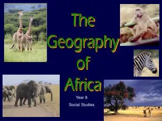
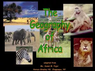
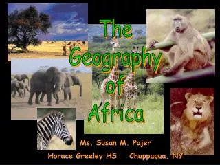
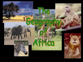
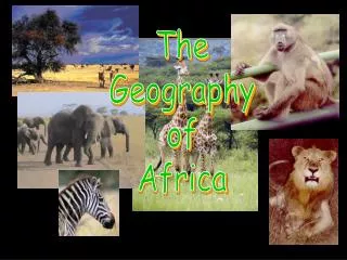
The Geography of Africa
Africa’s Size 4 6 0 0 M I L E S 5000 MILES • Second largest continent 11,700,000 sq. mi. • 10% of the world’s population. • 2 ½ times the size of the U. S.
African Geography What do you know?
1) This is a • A) plateau • B) rift • C) semiarid region
2) This is a • A) plateau • B) rift • C) semiarid region
3) This is the • A) Sahel • B) Sahara Desert • C) Great Rift Valley
5) What is this? • A) Sahel • B) desert • C) savanna
6) What is this? • A) Namib Desert • B) The Sahel • C) The Kalahari desert
9)What is this? • A)Namib Desert • B)Semiarid land • C)Sahel
10)What is this? • A) Lake Tana • B) Lake Chad • C) Lake Malawi
11)What is this? • A) Lake Tana • B) Lake Chad • C) Lake Victoria
Mediterranean Sea Bodies Of Water Red Sea NileRiver NigerRiver L. Chad--> <--Gulf of Aden L. Albert--> Congo River L. Victoria L. Tanganyika-> Indian Ocean Atlantic Ocean Zambezi River LimpopoRiver OrangeRiver Pacific Ocean
The Congo River Basin • Covers 12% of thecontinent. • Extends over 9countries. • 2,720 miles long. • 99% of the countryof Demo. Rep. of Congo is in theCongo River basin.
The Niger River Basin • Covers 7.5% of the continent. • Extends over 10 countries. • 2,600 miles long.
Atlas Mts. Mountains & Peaks ΔMt. Kenya ΔMt. Kilimanjaro Ruwenzori Mts. Drajensburg Mts.
Libyan Desert Deserts Sahara Desert Sahel Namib Desert Kalahari Desert
Valleys & Plains Great Rift Valley
Great Rift Valley 3,000 miles long
Tropic of Cancer 20° N Africa:The“Tropical”Continent Equator 0° Tropic of Capricorn20° S
African Rain Forest • Annual rainfall of up to 17 ft. • Rapid decomposition (very humid). • Covers 37 countries. • 15% of the land surface of Africa.
Mediterranean Sea Atlas Mts. Libyan Desert The Complete Topography Of AFRICA Tropic of Cancer 20° N Sahara Desert Red Sea Sahel NileRiver NigerRiver L. Chad--> Great Rift Valley <--Gulf of Aden L. Albert--> ΔMt. Kenya Equator 0° Congo River L. Victoria ΔMt. Kilimanjaro L. Tanganyika-> Indian Ocean Ruwenzori Mts. Atlantic Ocean Zambezi River Namib Desert Kalahari Desert LimpopoRiver Tropic of Capricorn20° S OrangeRiver Drajensburg Mts. Pacific Ocean
How does Geography Impact culture?