Download
1 / 37
370 likes | 458 Vues
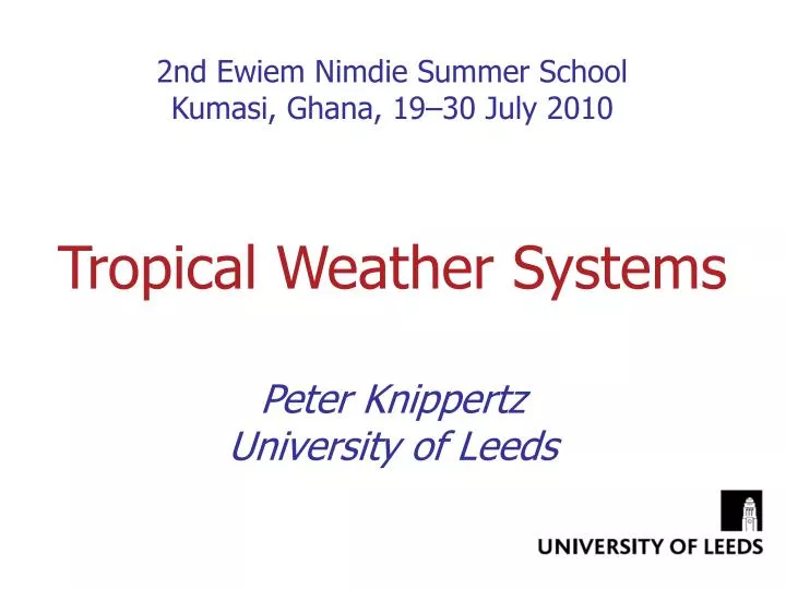
2nd Ewiem Nimdie Summer School Kumasi, Ghana, 19–30 July 2010 Tropical Weather Systems Peter Knippertz University of Leeds. Objectives. Broad overview of tropical weather systems from planetary to mesoscale Basic explanations of dynamics Climatology Impacts Forecasting issues. Scales.

E N D
2nd Ewiem Nimdie Summer SchoolKumasi, Ghana, 19–30 July 2010 Tropical Weather Systems Peter Knippertz University of Leeds
Objectives • Broad overview of tropical weather systems from planetary to mesoscale • Basic explanations of dynamics • Climatology • Impacts • Forecasting issues
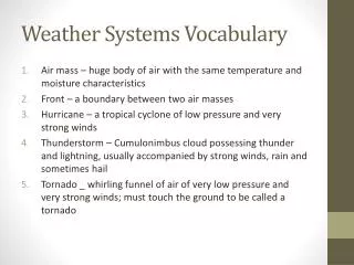
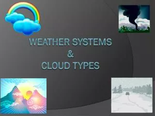
Scales • Planetary Scale~10,000 kmEquatorial waves (Kelvin and Rossby waves; Madden-Julian Oscillation) • Synoptic Scale~1000 kmEasterly waves, jet streaks see lecture by Ros Cornforth on African Easterly Waves on Friday • Mesoscale~100km–Tropical cyclones– Organized moist convection see lecture by Arlene Liang this afternoon • Mesoscale~10km– Unorganized convection, cumulus congestus
Radiative convective balance latent heat release Longwave cooling What makes tropical weather systems special? • Weak Coriolis force near the equator geostrophic & thermal wind balance weak • Pressure and temperature contrasts are comparably weak • We can often neglect horizontal temperature advection in the thermodynamic energy equation
06/02 09/02 13/02 21/02 24/02 29/02 Equatorial waves
Shallow water system Start with basic equations • Linearise around resting atmosphere • Eliminate and to get 3 equations in u, v and • Combine equations and look for wave-like solutions
Yanai or mixed Rossby-gravity waves (after Yanai und Maruyama 1966) w’ westward eastward k’ Dispersion relation relation between scaled wave frequency w’ & wave number k’
winds accelerate from high to low ascent – cooling – increase in pressure high moves eastward Equatorial Kelvin waves have zero v wind, symmetric about Equator Equator after Matsuno 1966 This is where we can expect convective clouds in this wave!
Equatorial Yanai or mixed Rossby gravity waves antisymmetric about Equator, both eastward and westward propagating solutions possible Equator after Matsuno 1966
D C D D C D Equatorial Rossby waves • symmetric about Equator • westward propagating • where do you expect convection? Equator
Coupling between convection and equatorial waves Filtered satellite observations of outgoing longwave radiation show that convection is organized by large-scale equatorial waves from Wheeler and Kiladis (J. Atmos. Sci, 1999)
Practical aspects of equatorial waves • There is hardly ever only one wave type present that can be easily identified by eye (e.g. from satellite images) • Space-time filtering is applied to isolate signals of single wave types • Good webpage at Australian Bureau of Meteorology:http://www.cawcr.gov.au/bmrc/clfor/cfstaff/matw/maproom/ • Numerical models struggle to sustain waves realistically over longer periods • Persistence forecast has some values for initially strong wave signals
from Madden and Julian (1972) Madden-Julian Oscillation (MJO) • Example of a global-scale tropical wave phenomenon • Dominant large-scale intraseasonal variability in the tropics • Spectral peak between 30–60 days in many variables (zonal wind, pressure, precipitation, temperature, diabatic heating) • Some interest for seasonal forecasting
MJO theories • Eastward propagation similar to Kelvin wave, but– slower propagation speed– longitudinal variations • Possible reasons: – coupling with ocean– coupling with convection– friction • MJO prefers warm oceans, often pulse-like over West Pacific warm pool • These can trigger El Niño events! • Many open questions regarding physical understanding (e.g. organization of convection) and predictions
Easterly waves • Synoptic-scale (2000–4000 km), westward propagation (typically 6–8° longitude/day)
African Easterly Waves • Often coupling with moist convection
Tropical Cyclones – Impacts • Land-falling tropical cyclones are a high-impact natural hazard(winds, waves, rainfall) • The “Great Hurricane” in October 1780 alone caused > 20,000 deaths on the Antilles. • Hurricane Andrew (1992) caused an economic damage of 44 billion US$ (inflation adjusted to 2004). • The 2005 hurricane season in the Atlantic Ocean was the most active on record:– 27 named storms, 15 hurricanes, 7 intense hurricanes, 4 Category 5– ca. 1400 deaths– Economic damage > 100 billion US$ • Effects of climate change on hurricane activity still very controversial!
Definition • The Tropical disturbance Weather system with organized convection, Ø 200–600km, > 24 h lifetime Tropical depression Tropical disturbance with closed circulation, v10m 33 kt (17 m/s) Tropical storm Convection concentrated in the centre, 34 kt v10m 63 kt Hurricane v10m 64 kt (Categories 1–5)
Climatology – Tracks Tracks of all tropical depressions 1979–1988 (Neumann 1993)
Climatology – Interannual variations Annual number of tropical cyclones over the North Atlantic 1851–2004 named storms hurricaneshurricanes category 3
Climatology – Seasonality North Atlantic
Formation 2/3 of all tropical cyclones form between 10 and 20 degrees longitude north or south from Gray (1968)
Formation Statistical analysis after Gray (1979) No cyclogenesis near equator, || > 5° |f| too small Ocean temperatures surface to 60m depth >26°C Availability of large amounts of energy Small vertical wind shear Sufficiently unstable vertical column deep moist convection can be sustained Moist mid-troposphere A finite-amplitude wave or vortex in the lower troposphere (often from an easterly wave)
Decay Removal of sensible and latent energy source during land fall or movement over colder waters Incorporation of cooler and drier air into circulation Friction during landfall often very gusty winds Enhanced vertical wind shear can separate lower part of vortex Upper-tropospheric convergence behind an extratropical trough
Structure RADAR image of Hurricane Alicia (1983) from Marks & Houze (1987)
Structure – Eye Typical diameter 30–60 km (extreme cases 8–200 km)
Structure – Eye wall Deep moist convection, ~10–20km wide, strongest wind and precipitation
Vertical structure • Tropical cyclones are nearly axisymmetric and do not have fronts • Tangential wind decrease with height Satellite image of Hurricane Fran (1996) Tangential velocity> 50 m/s Vertical velocity> 8m/s
Theory – Gradient wind balance Balance between pressure gradient force, coriolis force and centrifugal force Enormous pressure gradients are needed to balance high tangential winds in tropical cyclones!
Theory – Thermal wind balance gradient wind balance hydrostatic equation in pressure coordinates If ∂v /∂p > 0 wind speed decreases with height ∂∂r < 0 temperature decreases outward (warm core)
Vortex spin-up • Vorticity equation • Parcels spin faster in low-level convergent inflow and develop an anticyclonic in divergent outflow region. • Stretching is more effective for large initial vorticity:– larger f (i.e. higher latitude)– larger (e.g. due to existence of pre-existing wave) • Continuity couples the strengths of the convergence/divergence to ascent at midlevels and therefore to the strength of the convection.
Predictions • Track predictions often quite accurate (shown uncertainty range is based on climatology of past years) • Intensity forecasts still a major challenge (usually combination of dynamical and statistical methods based on satellite data)
Summary • Tropical weather systems span the whole range from planetary to mesoscale. • The tropical atmosphere sustains different types of waves, often coupled with moist convection:Kelvin & Rossby waves, MJO, easterly waves • Mesoscale tropical cyclones (TCs) are amongst the most destructive natural hazards. • TCs form over warm oceans in regions with potential instability and little wind shear away from the Equator. • TC intensity prediction is still a major challenge. • More on tropical weather systems from Arlene & Ros!!