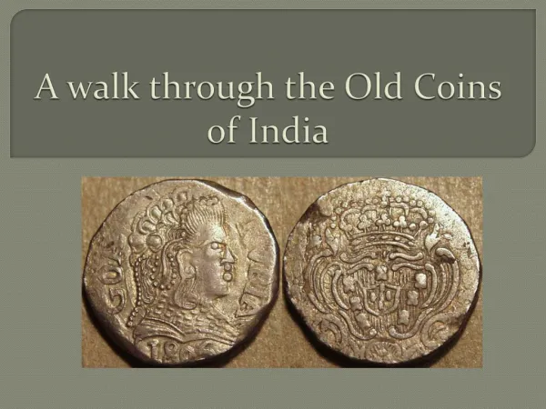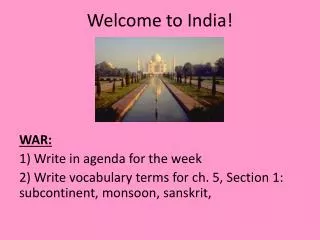
Welcome to India!
140 likes | 312 Vues
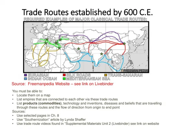
Welcome to India! . WAR: 1) Write in agenda for the week 2) Write vocabulary terms for ch. 5, Section 1: subcontinent, monsoon, s anskrit , . Make a map key underneath your map on the WOW continued side of your ISN and label and color the features as follows as we discuss each feature:.

Welcome to India!
E N D
Presentation Transcript
Welcome to India! WAR: 1) Write in agenda for the week 2) Write vocabulary terms for ch.5, Section 1: subcontinent, monsoon, sanskrit,
Make a map key underneath your map on the WOW continued side of your ISN and label and color the features as follows as we discuss each feature: • Brahmaputra River – light blue • Ganges River – dark blue • Deccan Plateau – green • Western Ghats – purple • Eastern Ghats – orange • Himalayas – gray • Thar Desert – pink • Indus River – turquoise • Hindu Kush - fuschia
Brahmaputra River • Starts in the Himalayas • Monsoons add water to the valley part of the river • Floods slightly and leaves rich soil behind • Joins with the Ganges River and land is fertile here
Deccan Plateau • Area between 2 mountain ranges • Elevated, flat area of land • Has flat, rocky sections • Also has hillier parts with thin forests • Dry with few rivers • Monsoons provide most of water, soil good for cotton
Eastern and Western Ghats • Mountain chains near coasts of India • Deccan Plateau sits in between • Steep slopes, narrow valleys, thick forests, heavy rains • Wet climate • Rivers rarely flood and are dangerous
Ganges River • Flows across North India • Starts in Himalayas • Carries sediments to plains, making it very fertile • Water supply comes from melting ice and snow • Dangerous flooding can occur and destroy crops
Himalaya Mountains • Located on India’s northern border • Mount Everest is here • “Home of snows” • Water from the glaciers feed the rivers • Earthquakes and landslides are common
Himalayas • Mt. Everest goes 5 ½ miles into the sky and 10 feet of snow can fall on the area at one time! Mt. Everest grows a little more each year due to the earth’s movement.
Hindu Kush Mountains • Form border between India and Afghanistan • Not as tall as Himalayas • Many parts are unlivable • Khyber Pass connects Asia to India, which trader and invaders used.
Indus River • Begins in Himalayas • Gets water from melting snow from Hindu Kush mountains • Flows through Pakistan and empties into Arabian Sea • Carries sediments and makes soil fertile
Thar Desert • In northern India • Mostly sand and stone • Little plant life and very hot • No rivers • Dust storms common