Download
1 / 17
170 likes | 370 Vues
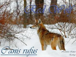
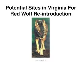
Potential Sites in Virginia For Red Wolf Re-introduction . Picture courtesy of NPCA. Project Goal.

E N D
Potential Sites in Virginia For Red Wolf Re-introduction Picture courtesy of NPCA
Project Goal Determine where optimal habitat areas for red wolves might exist in the national forests of Virginia by setting buffers around Federal wilderness areas where the wolves would be least likely to come in contact with people. Possible Uses For This Data • Identification of areas possibly suitable for a potential red wolf re-introduction project by Federal wildlife managers in the US Forest Service and/or Fish and Wildlife Service
Habitat Requirements • A small pack of red wolves requires a minimum range of 40-100 square miles. • Wolves thrive where vegetation is thickest, deer and other food sources plentiful, and where human contact is limited.
Wolf Habitat Test:Raster Method • Raster layers for forest cover and road density were extracted using the 100 square mile buffer zones as a mask. • The Raster Calculator in ArcView 9.1 was used to determine areas within the buffered zones where forest cover exceeded 89% and/or road density was fewer than one per square mile.
Ramsey’s Draft Lewis Fork
Wilderness Areas (with buffers) with the Highest Percentage of Cells Containing Forest Cover Greater Than 89% and/or Fewer Than 1 Road Per Square Mile These results are clearly visible in the preceding map. They were verified by extracting the cells within the above listed areas and masking them by the selected buffer zones.
The Ramsey’s Draft wilderness area (shown in pink) is located within the George Washington National Forest on the border of Augusta and Highland counties. • The wilderness was established in the 1980’s to protect one of the last stands of virgin hemlock forest in the eastern US. • Wilderness area is 6,518 acres. • Thousands of additional, contiguous “roadless” acres (shown in light green)will be preserved in their wild state as well. • In 1997 the wolly adelgid parasite was found to be in the wilderness. Hemlock mortality in areas of infestation is 100%. • By 2002, most of the hemlocks were dead or dying.
3D Visualization of the Ramsey’s Draft Wilderness Area and Surrounding Habitat Created by converting a USGS 30 meter DEM of West Augusta, VA to a TIN, and then using the TIN as a height reference for the 4 digital orthoquads that comprise this area.
Vector Analysis further confirms Ramsey’s Draft is an area with few roads. It has the fewest road miles of any buffer zone that exists completely within Virginia’s boundaries.
Distances were calculated by performing a spatial join of the 100 sq. mile buffers to a point file of Virginia cities. Any wilderness area not shown on the graph had a “0” value.
Economic Considerations of a Potential Re-introduction of Red Wolves to Virginia • The re-introduction of Mexican wolves in the Blue Range of eastern Arizona was hampered by opposition from sheep and cattle ranchers. • Many of the wolves released in eastern Arizona were “mysteriously” shot to death. • In the Yellowstone region the gray wolf program was a success because ranchers received compensation for any livestock that was proved to have been killed by wolves from a Yellowstone pack. • Any plan to re-introduce wolves in western Virginia must take into account the agricultural interests that may potentially be harmed by the presence of wolves. • The following graph shows the number of sheep residing in and around each wilderness area and its 100 square mile habitat buffer.
Source: US Agricultural Statistics Service for Year 2003 While many buffer zones had a lower concentration of sheep within them than Ramsey’s Draft, only Lewis Fork had comparable habitat in the raster analysis. But Lewis Fork has far less “roadless” acreage nearby, and it borders another state, which is a further complicating factor.
Again, more evidence that from an agricultural perspective, Ramsey’s Draft may be a controversial place to release red wolves.
Conclusions • Based on road and forest cover attributes, as well as distance from census defined cities, Ramsey’s Draft wilderness area may be the best spot in the national forests of Virginia to re-introduce red wolves. • When livestock are added as a variable against introduction, Ramsey’s Draft presents as a re-introduction zone that may be very unpopular with local agricultural and economic interests. • It is worth considering that the low road density and high level of forest cover in the Ramsey’s Draft buffer area may be a reflection of its large amounts of livestock. This is because sheep and cattle require large areas of undeveloped land for grazing. • There are many other environmental and economic variables that one could consider when approaching a project of this nature that might produce very different trends in the data. The results I arrived at are based on a basic analysis of primary habitat requirements, as well as a look at economic factors that would discourage an area being selected as habitat.