Download
1 / 15
150 likes | 293 Vues
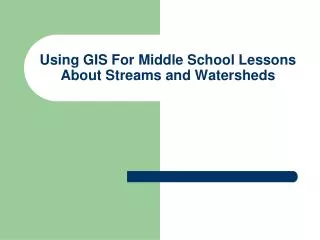
Using GIS For Middle School Lessons About Streams and Watersheds. Goals. Develop a dataset and products to help middle school teachers and students in Fairfax County, Virginia, learn about stream systems and watersheds.

E N D
Using GIS For Middle School Lessons About Streams and Watersheds
Goals • Develop a dataset and products to help middle school teachers and students in Fairfax County, Virginia, learn about stream systems and watersheds. • Help students identify with the streams in their backyards (or the stream behind their middle school). • Develop an understanding of how these streams fit into larger systems.
Objectives • Create a stream and watershed dataset emphasizing stream systems in Fairfax County. • Illustrate the nesting nature of watersheds • connect the streams in Fairfax County to the much larger Chesapeake Bay watershed. • Illustrate the relationship between hydrologic features and political boundaries. • Provide additional information that students can use to study stream systems, hydrology, and water quality. • stream gaging stations • weather stations • Locations of the middle schools
Principal Data Sources Hydrography: • U.S. Geological Survey, Reston, Virginia. National Hydrography Dataset. • Virginia Department of Conservation and Recreation • Fairfax County Government Schools and Weather Stations • Fairfax County Public Schools (Virginia). • WeatherBug and WJLA Channel 7 (Weatherbug weather cameras and weather stations). • StreetMapsUSA Gaging Stations • U.S. Geological Survey, Reston, Virginia. National Water Information Service. http://waterdata.usgs.gov/nwis
Techniques Used • Extraction of subsets of data and dissolving shapefiles to identify specific watersheds and basins • Reprojection of data to NAD Virginia State Plane North FIPS 4501 • Geocoding • Hyperlinks • Color coding (browns for political jurisdictions, blues and greens for hydrographic data, and using transparent layers • Setting variable display and label scales for different layers • Liberal use of the description field in layer properties • Personal Geodatabase • Generation of four map products to depict lessons of scale
Watershed Hierarchy • Watersheds selected that connect directly with the streamsheds in Fairfax County: • The Chesapeake Bay • The Potomac River Basin • The Two Middle Potomac basins on which the county sits • Fairfax County streams and streamsheds
Ideas for Building on to this Project Basic Work: • Add topology to the stream network • Add soils information • Add more information on the larger waterbodies and mainstem of the Bay Analytical Projects: • Model stream flow and sediment transport during storm events For students: • Conduct stream sampling experiments and add data to database.
Other Educational Resources • Smithsonian Environmental Research Center http://www.serc.si.edu/ • USGS. http://water.usgs.gov/. • Chesapeake Academic Resources for Teachers, Chesapeake Bay Program. http://chart.chesapeakebay.net/. • Surf Your Watershed Program. U.S. EPA http://cfpub.epa.gov/surf/locate/index.cfm. Source: cooperative conservation america