Download

1 / 41
500 likes | 1.52k Vues
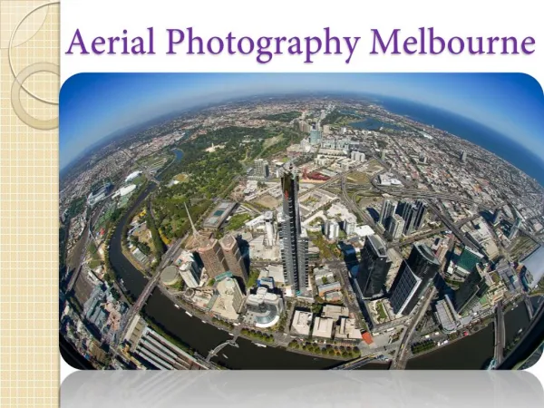
Aerial Photography and Photogrammetry. Interpretation and Measurement. Aerial Photographs. Photographs taken from a platform, usually an airplane, flying above the earth’s surface. Can be taken from space (by astronauts) but usually taken from within the atmosphere. Types of aerial photos.

E N D
Aerial Photography and Photogrammetry Interpretation and Measurement
Aerial Photographs • Photographs taken from a platform, usually an airplane, flying above the earth’s surface. • Can be taken from space (by astronauts) but usually taken from within the atmosphere
Types of aerial photos • Vertical air photos • Vertical (on nadir) or nearly vertical angle to the local ground surface (90° ± 3°) • Oblique air photos • Tilted away from vertical • High-oblique • Shows the surface, the horizon, and a portion of sky • Low-oblique • Shows only the surface
Information on air photos • Date • Mission details • Roll + film number • Altitude (not always) • Fiducial marks
Analog vs. Digital • Analog: Film • Emulsions react with light • B&W, Color, Color infrared • Prints, negatives • Digital: Electronic storing device • Calibrated sensors • Digital values
Film vs. Digital • Film uses grains of silver chloride embedded in gel rather than pixels. • Silver chloride turns to silver (opaque) when exposed to light. Creates a negative. • Must pass light through negative to create a positive (print). • Typical B&W film sensitive to UV through red wavelengths (panchromatic) • Some films sensitive to infrared (IR film)
Characteristic Curve • Film records radiance as tone – the more light (radiance) that hits the film, the more grains of silver chloride are converted to silver • The relationship between radiance and tone is captured in the characteristic curve of the film.
The Characteristic Curve Image courtesy Sprawls Educational Foundation www.sprawls.org.
Products • Film-based cameras • Type • B&W, color, color infrared, panchromatic • Format • 9 x 9, 9 x 18, … • Media • Negative, positive (transparent or opaque) prints
Photo Geometry • Because airplanes are subject to turbulence, photo geometry can be less predictable than for satellite data
Flight characteristics that affect air photo geometry • Flight line orientation (overlap, etc.) • Airplane movement caused by turbulence • Height, air speed, etc.
5 4 3 2 1 6 7 9 8 10 Flight paths Side overlap Fore and aft overlap
Types of Distortion Caused by Aircraft • Roll • Pitch • Yaw
Photointerpretation • Identifying features on the ground by using information depicted in air photos or satellite data • Shape • Size • Pattern • Shadow • Tone, color (or gray shade) • Texture • Context (Association)
Photointerpretation • Keys can be used to standardize interp. • Photointerpretation is both a science and an art
Photogrammetry • Technique of obtaining reliable measurements of objects from their photographic images • Heights of objects • Areas • Lengths • Density • Etc.
Photographic scale • Relationship between the linear distance on a vertical photograph and the corresponding actual distance on the ground • Scale is expressed as ‘representative fraction (RF)’ between linear measurements on photo (the numerator) and corresponding distance on the ground (the denominator)
Photo scale –> ground distance • Example • 1/24,000 or 1:24,000 • 1 unit on photo = 24,000 units on ground • 1 cm = 24,000 cm • 1 mm = 24,000 mm • 1 inch = 24,000 inches • 1 inch = 24,000 in / 12 in/ft = 2,000 ft
Scale • Scale is the ratio of the measured length of an object on an image to its real length on the ground • Always expressed as a ratio (e.g. 1:24,000) • Small scale photo covers large area on ground • Small scale photo has less detail • Large scale photo cover small area on ground • Large scale photo has considerable detail
Scale: Photo-Ground distance • Scale (RF) when given a photo measurement (PD) and the corresponding ground measurement (GD)
Scale: Photo-Ground distance • Distance between two points • On the ground = 1200 m • In the photo = 5 cm
Important facts • Scale is not uniform within a photo • Pitch, roll, yaw • Terrain • Used for vertical airphotos only • Average or Nominal scale
Photogrammetry Summary • You can calculate many characteristics of ground properties (e.g., building heights, shrub density) from aerial photographs if you know the scale and can use simple geometry and logic.