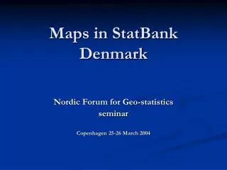
Maps in StatBank Denmark
50 likes | 65 Vues
Join us at the Nordic Forum for Geo-statistics seminar in Copenhagen on March 25-26, 2004, to learn about the latest advancements in mapping tools and their implementation. Discover the possibilities of using maps in statistical dissemination with PX-iMap, a user-friendly tool. Explore how 85,000 maps were generated in the first year, with options to view data for regions, select multiple maps in one file, and enjoy better quality maps.

Maps in StatBank Denmark
E N D
Presentation Transcript
Maps in StatBank Denmark Nordic Forum for Geo-statistics seminar Copenhagen 25-26 March 2004
Introduction • One year with maps • PX-iMap is the tool • Easy to implement • Thank you SSB
Map possibilities ... • Example page • 400 cubes with regions • Use maps on ... - Municipality - County - Europe - World • 85.000 maps first year
Live Demo ... www.statbank.dk
The Future ... • See data for a region (by click or mouse over) • Select between more maps in one file • Better quality maps • More active use in statistical dissemination