Download
1 / 67
700 likes | 1.14k Vues
Cruising the Intracoastal Waterway. Norm & Kathy Blinn. Ebb Tide II - Our Duffy37. Outline. Getting ready to go Managing the Waterway Underway on the ICW. Living Aboard – Long Term. Personal items: Not too much clothing Laptop computer and cell phone Extra boat spares:

E N D
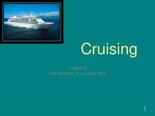
Cruising theIntracoastal Waterway Norm & Kathy Blinn
Outline • Getting ready to go • Managing the Waterway • Underway on the ICW
Living Aboard – Long Term • Personal items: • Not too much clothing • Laptop computer and cell phone • Extra boat spares: • Second anchor and rode • Impellers + head repair parts • Wiper blades, bulbs, flashlight batteries
Living Away From Home • Communicating: • Internet – Wi-Fi card, boosted antenna, shore access • Incoming E-mail – Downloads are easy • Sending E-mail – Use provider’s website • Paying bills: • Use bank’s electronic bill paying service • Use biller’s websites - due dates & amounts • Checkbook/stamps/envelopes - if mailing • Need cash? - Use Debit Card at ATMs • Mail: • Home mailbox monitoring • Forward to marina or Post Office General Delivery
Navigation Aids • Essential equipment: • Electronic chartplotter & depth sounder • Tide info - embedded or Eldridge Tide & Pilot • ICW Guides: • The Intracoastal Waterway (Jan & Bill Moeller) • Managing the Waterway (Mark & Diana Doyle) • Paper charts: • Intracoastal Waterway Chartbook (J. & L. Kettlewell) • MAPTECH Chartkits: • Norfolk, VA to Florida (Region 6) • Florida East Coast and the Keys (Region 7)
Other Helpful Guides • Skipper Bob publications (www.skipperbob.net): • Marinas along the Intracoastal Waterway • Anchorages along the Intracoastal Waterway • MAPTECH Cruising Guide - Florida • Internet sites: • Salty Southeast Cruisers Net (www.cruisersnet.net) • Weather/sea states (www.wunderground.com)
Follow the Yellow Marks • ICW navigation markers have yellow triangles or squares above daymark/buoy numbers • ICW may use red or green marks to your starboard • Here’s the rule: • Always inland (Mountains) • Always offshore (Islands)
ICW Underway Routine • Plan a daily travel distance (6 hours is good) • Underway in daylight only! • Check the tides • Travel during mid to high tide: • lower South Carolina & Georgia • Near ocean inlets • First-timers – stop in marinas each night • Be flexible – expect delays
Bridges and Passing • Bridges: • Time your arrival - minimize wait times • Do not crowd the bridge – keep maneuvering room • Down-current boats have right-of-way • Passing etiquette: • VHF 16 call – no answer – use horn signal • One whistle – right rudder, pass on other boat’s starboard • Two whistle – left rudder, pass on other boat’s port side • Tow Boats and Barges: • Less maneuverable – follow their lead • Call on VHF 13 first, then VHF 16, then VHF 9
Passing Other Vessels • Pleasure Boats: • VHF 16 call – no answer – use horn signal • One whistle – right rudder, pass on other boat’s starboard side • Two whistle – left rudder, pass on other boat’s port side • Tow Boats and Barges: • Less maneuverable – follow their lead • Call on VHF 13 first, then VHF 16, then VHF 9 • Never pass without verbal contact
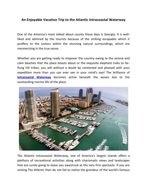
ICW Facts • Runs from Norfolk, VA to Miami, FL • 1090 statute miles • Planned minimum depths: • 12 feet to Ft. Pierce, FL • 10 feet to Miami • Dual responsibility: • Depth – Army Corps of Engineers • Nav Aids – US Coast Guard
ICW Map & Distances Statute miles by state : Virginia - 34 North Carolina - 307 South Carolina – 235 Georgia – 138 Florida - 541 Norfolk to Key West- 1245
ICW Realities • Bottom is always changing: • Natural shoaling by ocean inlets • Storm and hurricane effects • Planned depths are not maintained: • Commercial usage gets priority for dredging • No depth maintenance from Hilton Head Island to Georgia/Florida border (161 miles) • Coast Guard is over-worked: • Places temporary buoys when ICW bottom shifts • Neglects faded nav markers and damaged ranges
FY 2008 ICW Dredging Funds • Congress appropriated - $13.28 million • North Carolina - $5.5M • South Carolina - $2.18M • Georgia - $1.87 M • Florida - $3.74M • Time since last dredging: • Georgia - Six years • South Carolina – Two years • Georgia contract slipped to 2009 • Hells Gate Cut will be dredged in springtime
When to Start the Trip • Leave early & stay late: • SNOWBIRDS - Southbound in September - Northbound in May • November - December departures: • Shorter daylight hours • Morning fog • Low sun angles – reflected glare • Bahamas visits: • Best in April or May
Cruising “Outside” to Florida • Three legs - 2 days each at 6 knots – approx 545 NM • Hampton Roads, VA to Southport, NC • Thimble Shoals Channel “CB” to Cape Hatteras – 105 NM • Cape Hatteras “R12” to Cape Fear River “CP” – 130 NM • Greatest distance - offshore below Hatteras - 40NM • Southport, NC to Charleston, SC • Cape Fear “CP” to Charleston Sea Buoy “C”- 107 NM • Charleston, SC to Fernandina Beach, FL • Charleston “C” to Saint Marys River “R2” – 143 NM
ICW - Norfolk to Great Bridge, VA • Mile Marker Zero: • Elizabeth River Red 36 in Norfolk • Norfolk to Great Bridge (MM 12) - 3 hour trip • Norfolk bridges : • 2 vehicle - hourly openings • 2 railroad – variable openings • Rush-hour restrictions (7-9 AM, 4-6 PM) • Great Bridge Lock & Bridge coordinate hourly openings
Great Bridge, VA to Coinjock, NC • Free overnight tie-up between lock and bridge • After leaving Great Bridge : • 2 vehicle bridges - half hour openings • 1 railroad bridge - variable openings • Rush-hour restrictions • Currituck Sound has no tide: • Wind - affects depths, current and waves • Stay in channel - shallow outside • Coinjock (MM 51) – 2 marinas
Upper North Carolina • Albemarle Sound crossing - 12 miles: • Gets nasty if wind is blowing • Westward-building shoal by Alligator River Bridge (MM 84) • Find Green 1 visually - follow marks to bridge • Alligator River leads to 21 mile-long canal • Good marina stops: • Alligator River Marina - MM 84 • Dowry Creek Marina - Belhaven - MM 132
Upper North Carolina (Cont) • Protected water - before/after Neuse River • Neuse River crossing - 27 miles • Actually is southern Pamlico Sound • Gets rough if wind blows • Good overnight stops: • Oriental, NC (MM 181) - 2 marinas + free pier • Morehead City, NC (MM 205) - several marinas • Morehead City – 3.5 foot tidal range
Lower North Carolina • Morehead City (MM 205) – 3.5 foot tide • Going south - tidal range increases to 5 feet • ICW runs between barrier islands and coast: • Many ocean inlets – honor temporary buoys • Expect a slow trip: • 4 Bridges • Camp LeJune Firing range (MM 235-240) • Cape Fear River - strong tidal currents • Southport, NC (MM 310) – 3 marinas + free dock
Upper South Carolina • Moving south – tidal range increases from 5 to 7 feet • The “Rockpile” (MM 349–352): • Securité call on VHF 13 and 16 • No turn-around room • Passing/meeting is difficult • Marinas: • Dock Holiday’s (MM 348) • Wacca Wache (MM 384) • Georgetown’s Boat Shed Marina (MM 403)
Lower South Carolina • Multi-night stops: • Charleston City Marina (MM 469) – 3 nights • Downtown Marina - Beaufort (MM 536) – 2 nights • Hilton Head Island: • Skull Creek No-Wake zone (MM 553-557) – $900 fine • Marina - Harbour Town Yacht Basin (MM 564) • Known shallow spots – mid to high tide only: • Ashepoo-Coosaw Cutoff (MM 517) • Ramshorn Creek (MM 569) • Fields Cut (MM 573)
Georgia – an ICW challenge • 138 meandering miles (MM 576-MM 714) • Tidal range – 8 feet • No depth maintenance since 2002 • Worst shallow spots: • Hells Gate Cut (MM 602) - dredging in spring 2009 • North end of Jekyll Creek (MM 683) • Marinas: Kilkenny Creek (MM 614) – primitive Jekyll Wharf ( MM 684) • Best bet – go outside: • St Catherine Sound (MM 618) to St. Mary's River – 60 miles • Saves 35 miles and avoids many shallows
Florida – Finally! • Fernandina Harbor Marina (MM 717) • Fernandina to Key West - 528 miles • ICW is well maintained: • Indian River - 200 miles - 10 feet deep channel • Lots of “skinny” water outside channel • Tropical weather starts at Palm Beach • Delray Beach to Miami: • Many bridge waits and no-wake zones • Go “outside” at Boca Raton or Ft. Lauderdale
Good Florida Overnight Stops • “Old Florida” Towns: • Fernandina, Melbourne, Cocoa, New Smyrna • Historic: • St. Augustine & Cape Canaveral • Big Cities: • Jacksonville, Ft. Lauderdale & Miami • Florida Keys • Key Largo, Islamorada, Marathon, Key West
Miami to Key West • Two routes (160 miles): • Biscayne & Florida Bays – shallow, more protected • Hawk Channel – deeper, inside outer reef • Stopovers – make reservations in winter: • Key Largo (MM 1142) - Marina Del Mar • Islamorada (MM 1163) - many marinas • Marathon (MM 1194) - many marinas • Boot Key Harbor - 226 mooring balls • Key West (MM 1245) - Galleon Marina