1 / 4

LandScape Evolution of Taiwan with erosion model

EPS109 Final project - Jonathan Kao. LandScape Evolution of Taiwan with erosion model. Image: Valley in Taroko National Park. Description. Landscape evolution of Taiwan based on alluvial processes Based on erosion lab Topographic data from UCSD site Long Range: 120-122E Lat Range: 22-25N

saldivar
Télécharger la présentation

LandScape Evolution of Taiwan with erosion model

An Image/Link below is provided (as is) to download presentation Download Policy: Content on the Website is provided to you AS IS for your information and personal use and may not be sold / licensed / shared on other websites without getting consent from its author. Content is provided to you AS IS for your information and personal use only. Download presentation by click this link. While downloading, if for some reason you are not able to download a presentation, the publisher may have deleted the file from their server. During download, if you can't get a presentation, the file might be deleted by the publisher.

E N D

Presentation Transcript


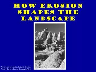
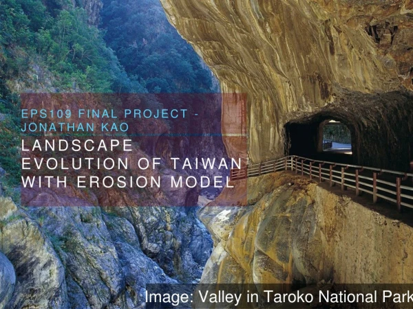
  1. EPS109 Final project - Jonathan Kao LandScape Evolution of Taiwan with erosion model • Image: Valley in Taroko National Park

  2. Description • Landscape evolution of Taiwan based on alluvial processes • Based on erosion lab • Topographic data from UCSD site • Long Range: 120-122E • Lat Range: 22-25N • Uplift: 5mm/yr (Wikipedia)

  3. GIF Movie • Timescale: 100 to 100,000 years • Trend: uplift due to tectonics, decreasing relief

  4. Run My Code With: • Run main file: “erosion_tw.m” • Functions required: “pool_check10.m”, “calculate_collection_area2.m” • Data file required: “taiwan_topo.txt”

More Related