Download
1 / 4
40 likes | 57 Vues
Contextual Layers – existing and near-term. Boundaries Country – host State – host County – host MSA – access Bureau of Census TIGER WMS Tribal – host or access Bureau of Census TIGER WMS Class I Areas – host Public Land – access IMPROVE Site Regions - ?

E N D
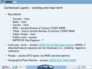
Contextual Layers – existing and near-term • Boundaries • Country – host • State – host • County – host • MSA – access Bureau of Census TIGER WMS • Tribal – host or access Bureau of Census TIGER WMS • Class I Areas – host • Public Land – access • IMPROVE Site Regions - ? • Land use / cover – access USGS NLCD Web Map Service (WMS), if describeFeature requests are not necessary (i.e., shading / legend is sufficient). • Roads – access BTS layers via WMS (several options) • Geographic/Place Names – access USGS EDC GNIS WMS
Metadata for geospatial datasets – Why and What? • preserve organizational data investments • instill data accountability and liability, and • facilitate data sharing • We must determine all metadata elements necessary to capture the unique characteristics of a data set and provide complete, current information for each “element” (or “data attribute”, such as date). • Start with suggested “minimum” set of core elements, and add those that are necessary to maintain value of dataset and serve state/tribal users. • Exceed minimum as required to create solid data management resource.
Metadata for geospatial datasets – How and Why? • Options: • No metadata • Develop custom metadata content standard for geospatial layers. • Leverage established, cross-domain, consensus-based standards developed within the geospatial industry (government, software companies, GIS users, researchers), i.e., CSDGM and ISO 19115. • Following established metadata standards allows us to: • Provide State and Tribal users with familiar and complete metadata. • Maximize use of ENVIRON, Image Matters, and end user software. • Make our datasets discoverable through national infrastructure. • Prepare for post-October data download and, possibly, data upload functionality.
Metadata generation protocol - proposed • Stepwise Procedure: • Distribute concensus TSS metadata template to data creators. • Data creators upload template for particular dataset. • Use available tools (e.g., ESRI’s ArcCatalog) • “Enable automatic update of metadata” • Data creators/stewards edit metadata for following fields: Title, Abstract, Purpose, Keywords, Use_Constraint (if special constraints exist), and Attribute_Definitions • Send metadata files to Metadata Manager • Metadata Manager validates metadata, and edits if necessary • Metadata Manager loads metadata into TSS Metadata Catalog