Download
1 / 15
150 likes | 170 Vues
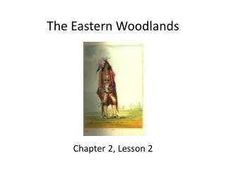
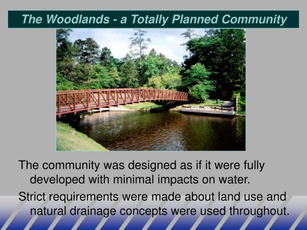
The Woodlands - a Totally Planned Community. The community was designed as if it were fully developed with minimal impacts on water. Strict requirements were made about land use and natural drainage concepts were used throughout. Guadalupe River Map. Guadalupe River Facts.

E N D
The Woodlands - a Totally Planned Community The community was designed as if it were fully developed with minimal impacts on water. Strict requirements were made about land use and natural drainage concepts were used throughout.
Guadalupe River Facts • The Guadalupe River valley artifacts suggest that the area has supported human habitation for several thousand years. • The steady flow from the springs that feed the Guadalupe and its tributaries have made the river an attractive source of waterpower. Very high quality water source. • Major water supply and recreational river now • May become major source for San Antonio - in the near future
Environmental Hydrology • Surface water supply and delivery systems (sewers) • Ground water for supply, wells, and springs • Contamination and environmental quality issue • Lake and Coastal Bay quality studies • River quality for drinking water and recreation • Hazardous waste studies for GW contamination • Waste sources from urban/industrial runoff • Land use impacts from urban development • Disaster mitigation and flood control
Runoff in an Urban Basin • Rain falls over watershed • A portion becomes pipe flow (storm water). • The remaining portion becomes overland flow in streets and yards. • The total runoff reaches a stream and is the sum of both components Overland Flow Total Hydrograph Outflow Pipe Flow (SWWM) Pipe Flow Time
Harris Gully Watershed Rice Blvd Harris Gully Brays Bayou
Digital Elevation Model Based on 1999 Aerial Survey DEM Used to Determine Overland Flow Connectivity and Storage
96” 54” 66” 72” 84” 114” Existing Pipe Network 60” 90” 72” 72” 60” 60” 60” 6.5’x10’ 6.5’x10’ Rice 7.5’x11’ Hermann Park 2-11.5’x15’ 66” 2-15’x15’ TMC
Hydraulic Calculation - Pipes (z + P/g + V2/2g)1= (z + P/g + V2/2g)2+hL E = total energy = z + P/g + V2/2g at pts 1 and 2 Energy Grade Line hL P1 Flow P2 z1 z2 Datum (MSL)
Harris Gully Drains to Brays Bayou Low Flow Box Culvert During Tropical Storm Frances
Bayou Camera - June 8-9, 2001Provided valuable data on water levels and timing 10 p.m. 12 p.m. 11:00 a.m
Texas Medical Center - Moursund Westbound 6/10/01 - 6:44 AM
T.S. Allison - Houston, June 9, 2001 Rice Blvd at Entrance 16 looking west Jeep indicating high water mark - inlet to Harris Gully
T.S. Allison vs. the 100-year (Inches of rainfall) 1-hr 3-hr 6-hr 12-hr 1976 TMC 3.8 7.5 9.8 10.4 Allison (a) 4.3 10.3 12.1 14.7 100-yr (b) 4.6 6.8 8.5 10.5 Diff (a–b) –0.3 3.5 3.6 4.2 Note: Allison dropped 8.5 inches in 2 hours