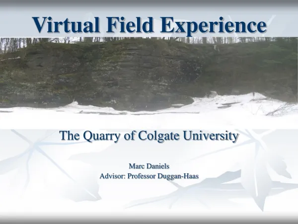
Enhancing Fieldwork Education with Virtual Field Courses at the University of Leicester
The Virtual Field Course (VFC) developed at the University of Leicester integrates technology into fieldwork by providing interactive visual explorations of spatially referenced data. This innovative approach emphasizes active participation and visual thinking, enabling students to collect, analyze, and present data effectively. Key objectives include enhancing students' ability to compare primary and secondary data, observing patterns, and reflecting on daily achievements. The VFC employs panoraMap software, facilitating rich, engaging learning experiences that bridge the gap between real and virtual environments.

Enhancing Fieldwork Education with Virtual Field Courses at the University of Leicester
E N D
Presentation Transcript
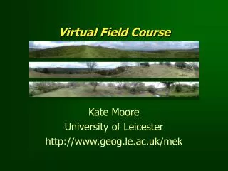
Virtual Field Course Kate Moore University of Leicester http://www.geog.le.ac.uk/mek
Pedagogy Field work Technology Data Structure of a Virtual Field Course
Fieldwork Education & Technology • IT integrated into project work • Preparation • Data collection • Analysis • Presentation • VFC objective to provide software for interactive visual exploration of spatially referenced information
Visualization for learning • ‘Comparison’ and ‘observation’ key objectives of fieldwork – multiple representations • “Computer technology allows interaction with models of reality and provides adaptive feedback” (Laurillard, 1997) - active participation • Visual thinking’ – process of knowledge acquisition (McEachren, 1994)
Student feedback • Focus for days work • Enhanced projects • “Amount of information” (secondary data) • “Ability to compare data” (primary data) • “Seeing what you have achieved that day” (immediacy) • “Enables us to see patterns and changes in relationships” (visualization)