Download
1 / 2
20 likes | 39 Vues
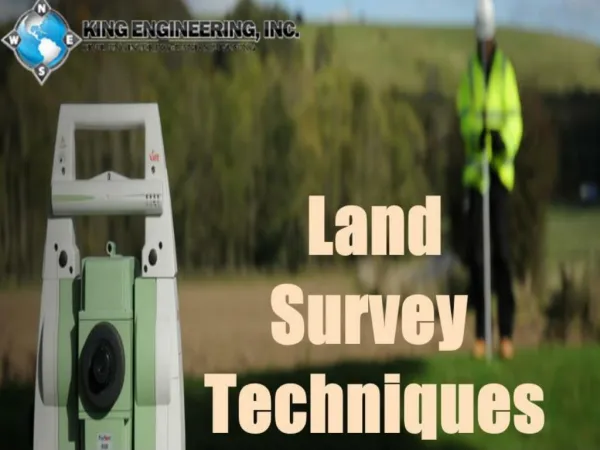
Surveying involves gathering data about specific points, determining the locations of each,<br>and measuring the distance between them. With Oklahoma GPS survey technology,<br>technicians make these measurements more accurately and efficiently than ever.

E N D
What Are the Oklahoma GPS Survey Techniques? Surveying involves gathering data about specific points, determining the locations of each, and measuring the distance between them. With Oklahoma GPS survey technology, technicians make these measurements more accurately and efficiently than ever. For a GPS survey, ground-based receivers communicate with the sophisticated satellite network that is the Global Positioning System. There are many ways to use this technology; as such, there are various GPS surveying techniques. GPS Surveying Techniques To determine which procedure will yield the best results, an experienced surveyor technician in Tulsa Oklahoma will consider the property, the surrounding terrain, and the data needed for the project to succeed. Four of the most commonly utilized techniques include: Kinematic GPS Survey Tulsa A technician will use at least two GPS units during a kinematic survey. One unit is placed on a pre-established station, where it remains stationary. The other unit (or units) will move from station to station. Depending on the needs of the project, a kinematic survey may be real-time kinematic (RTK) or stop-and-go. Static Oklahoma GPS Survey A technician will place multiple receivers, then record data over an extended period; in particular, they note satellite geometry changes. As a result, the static survey can record and establish baselines between stationary GPS units. To ensure accuracy, this surveying method often involves a network or multiple baseline approach. Fast-Static GPS Survey A technician will use this when they need the results of a static survey but with a shorter observation period. Fast-static surveying is often necessary when horizontal accuracy is essential to a project’s success. This procedure can involve a radial baseline technique, network technique, or a combination of the two. OPUS GPS Survey Tulsa A technician will not use OPUS techniques to make coordinates; instead, it verifies the results
of other surveys. For these, users submit GPS unit data files to the National Geodetic Survey’s Online Positioning User Service (OPUS). Regulations ensure the submitted data is reliable and accurate, making it a valuable resource. Looking for a Surveyor Technician in Tulsa Oklahoma Sisemore & Associates utilizes advanced techniques and technology to produce accurate results quickly and efficiently. In particular, our technicians are experts in GPS surveying techniques. To partner with us during your next significant project, please contact us.