Download
1 / 22
270 likes | 920 Vues
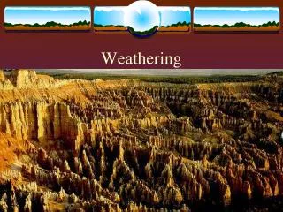
Richmond's Weathering. A GIS Lesson. W hat is Weathering?. The process of rocks or other substances breaking down at or near the Earth’s surface is called weathering. N ot to be confused with… . … E rosion or D eposition. T ypes of Weathering. Chemical Weathering Mechanical Weathering

E N D
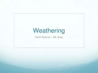
Richmond's Weathering A GIS Lesson
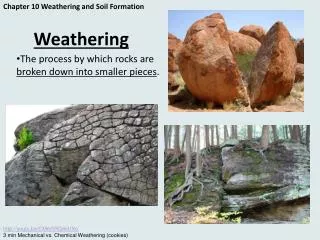
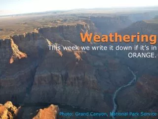
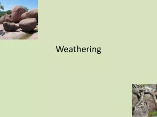
What is Weathering? The process of rocks or other substances breaking down at or near the Earth’s surface is called weathering.
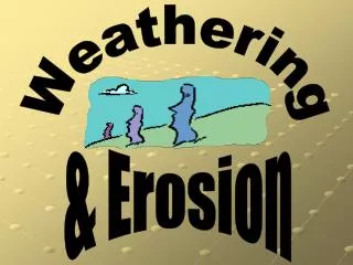
Not to be confused with… …Erosion or Deposition.
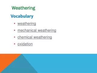
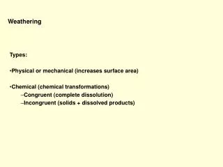
Types of Weathering. • Chemical Weathering • Mechanical Weathering • Biological Weathering
Mechanical Weathering. Mechanical weathering is the physical break down of a material without altering its chemical composition
Agents of Mechanical Weathering. Abrasion Exfoliation Frost Action Organic Activity Gravity
Chemical Weathering. Chemical Weathering is the alteration of the chemical composition of a material in breaking it down
Agents of Chemical Weathering. Carbonation Oxidation Acid Rain Plant Acid Hydrolysis
Rates of Weathering. 4 3 2 1 1. Tropical rainforest2. Hot desert 3. Temperate mountains 4. Polar Regions
Rates of Weathering. Austin, Texas Annual Temperature: 20.3oC Annual Rainfall: 82.4cm
What kind of Weathering does the Richmond area see? take a virtual field trip and see for yourself.
Virtual Field Trip Using GIS
To visualize the images we will use a GIS software application called ArcIMS.
ArcIMS can take lots of data and images… …and tie it to a map.
These maps are georeferenced… …so you can layer them.
Go to this website: http://mathsciencecenter.info Click on ‘Lessons on the Web’
Click on ‘Applications’ and then click on your lesson.