Tornadoes - What and Why?
320 likes | 351 Vues
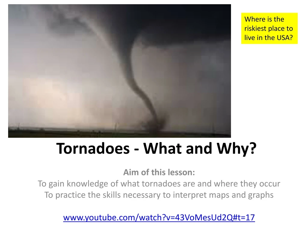
Where is the riskiest place to live in the USA?. Tornadoes - What and Why?. Aim of this lesson: To gain knowledge of what tornadoes are and where they occur To practice the skills necessary to interpret maps and graphs www.youtube.com/watch?v=43VoMesUd2Q#t=17.

Tornadoes - What and Why?
E N D
Presentation Transcript
Where is the riskiest place to live in the USA? Tornadoes - What and Why? Aim of this lesson: To gain knowledge of what tornadoes are and where they occur To practice the skills necessary to interpret maps and graphs www.youtube.com/watch?v=43VoMesUd2Q#t=17
Starter Task - Using the presentation and sound effects below and the worksheet above, complete the tasks as set out.
Tornado formation • Watch the following video clips. What conditions are necessary for the formation of a tornado? https://www.youtube.com/watch?v=lmWh9jV_1ac http://www.youtube.com/watch?v=6qOTPmpfnUI
Tornado formation • Cut out the nine images that represent the different stages of tornado development. Glue them into your exercise book in the correct order leaving enough space to write the correct statement from below by the image. • http://news.bbc.co.uk/2/hi/5328524.stm Use the videos and tornado videos to help
Tornado formation • Match the correct statement with the correct image
HOW ARE TORNADOES MEASURED? • Use thisFujita Tornado Intensity Scalefill in worksheet and the video entitled 'Tornado Simulation' to help.
Detecting a tornado Today, most developed countries have a network of weather radars, which remains the main method of detecting tornadoes. In the United States and a few other countries, Doppler weather radar stations are used. These devices measure the velocity and radial direction (towards or away from the radar) of the winds in a storm, and so can spot evidence of rotation in storms from more than a hundred miles (160 km) away.
The location of tornadoes Cut out the following map out from the resource sheet, stick it into your exercise book and then answer these questions: • List 8 countries that have an increased likelihood of experiencing tornadoes • Describe the global distribution of areas with an increased likelihood of experiencing tornadoes
Cut out the following map out from the resource sheet, stick it into your exercise book and then answer these questions: • Describe the link between tornadoes and agricultural areas. • What problems do you think may be caused by the link between tornadoes and agricultural areas.
Cut out the following graph out from the resource sheet, stick it into your exercise book and then answer these questions, in full sentences: • In which year was there the greatest number of tornado deaths? How many deaths were there that year? • In which year was there the lowest number of tornado deaths? How many deaths were there that year? • Are the number of deaths caused by tornadoes increasing or decreasing? Explain why you think that is.
Tornado threat USA • On to a base map, produce a map that shows the areas of the United States of America where there is a significant risk of death caused by a tornado. You should have three categories of area: High Risk, Medium Risk and Low Risk.
Tornado Alley is a nickname given to the plains region of the U.S. that experiences a high frequency of tornadoes, many of which are violent tornadoes (EF-3 or greater). With the Rocky Mountains to its west, and the warm waters of the Gulf of Mexico to its south, this region is in a ripe location to produce supercell thunderstorms.
We will investigate……. • Looking at the severe Tornado outbreak in America (Mid-West April 2011) TORNADO ALLEY This area of the USA is prone to Tornadoes every spring. The above map shows the locations of all the tornadoes that touched down on the 28th April 2011
Task: Shade your American map to show the states that suffered tornadoes in the 2011 Super Outbreak Oklahoma Missouri Alabama Texas Ohio Georgia Missisippi North Carolina Tenesse Arkansas Virginia
Tornado facts Race : • In groups of 2 take it in turns to come up to the front for 15 seconds and memorise the most important piece of information about the investigation. • Return back to your seat and write down as much as you can remember! • Next person comes up and the process repeats 2 times. • All groups will then take part in a quick quiz on the SUPER OUTBREAK to see who is the best journalist team
Super outbreak quiz 1. Which state was worse effected by the outbreak? 2. What is a name of a town that was badly affected? 3. How big was the tornado in this town? 4. How many days did the outbreak last? 5. In the super outbreak where did the warm moist air come from? 6. Roughly, how many tornados are there in the US each year? 7. Which country, after the USA, has the most tornadoes?
Quiz answers 1.Alabama 2. Tuscaloosa 3. 1 mile wide and speeds of 200 mph (F5) 4. 4 days 5. The Gulf of Mexico 6. 1,200 7. Australia
2011 super outbreak: Case study detail • Success criteria: • Make notes on details such as…. • The cause • The locations • The effects • How it was dealt with
Confirmed deaths by state Alabama: 162 Mississippi: 33 Tennessee: 33 Georgia: 13 Virginia: 8 Kentucky: 1 Disaster Summary
Tuscaloosa, Alabama devastated by 'monster' tornado • In Alabama, the worst-hit state, more than 162 have died - including 36 killed by a deadly F5 tornado that devastated the city of Tuscaloosa. The tornado completely Wiped out 30% of The small city
Does Climate Change mean more deadly tornado Outbreaks? • Unfortunately, there will be more massively deadly tornado outbreaks in the future. With populations growing in tornado-prone areas, there is an increasing risk of future outbreaks causing loss of life. • The NWA emphasizes that no single series of tornado events should be construed as evidence of a climate trend. However warming trends do create more of the fuel that tornadoes require, such as moisture
Trends in tornado activity Since 1975 the trend shows a decline in the number of strong tornadoes recorded. Does this fit in with the belief that extreme weather is on the increase?
So….. Will we see more tornadoes deaths as a result of climate change? • Success criteria: Include a balanced answer (points that agree, and disagree) Case study detail (figures, place names)
Task: create a 60 second news report on the SUPER OUTBREAK • You are a major news Reporter on the BBC and have a 60-second update slot in which to tell the world about the American outbreak. • In groups of 4, prepare you report and practise delivering it. These will be shown to the class at the end.


