Download
1 / 2
20 likes | 74 Vues
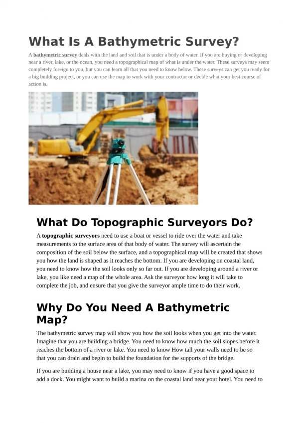
A bathymetric survey deals with the land and soil that is under a body of water. If you are buying or developing near a river, lake, or the ocean, you need a topographical map of what is under the water. These surveys may seem completely foreign to you, but you can learn all that you need to know below. These surveys can get you ready for a big building project, or you can use the map to work with your contractor or decide what your best course of action is.

E N D
What Is A Bathymetric Survey? A bathymetric survey deals with the land and soil that is under a body of water. If you are buying or developing near a river, lake, or the ocean, you need a topographical map of what is under the water. These surveys may seem completely foreign to you, but you can learn all that you need to know below. These surveys can get you ready for a big building project, or you can use the map to work with your contractor or decide what your best course of action is. What Do Topographic Surveyors Do? A topographic surveyors need to use a boat or vessel to ride over the water and take measurements to the surface area of that body of water. The survey will ascertain the composition of the soil below the surface, and a topographical map will be created that shows you how the land is shaped as it reaches the bottom. If you are developing on coastal land, you need to know how the soil looks only so far out. If you are developing around a river or lake, you like need a map of the whole area. Ask the surveyor how long it will take to complete the job, and ensure that you give the surveyor ample time to do their work. Why Do You Need A Bathymetric Map? The bathymetric survey map will show you how the soil looks when you get into the water. Imagine that you are building a bridge. You need to know how much the soil slopes before it reaches the bottom of a river or lake. You need to know How tall your walls need to be so that you can drain and begin to build the foundation for the supports of the bridge. If you are building a house near a lake, you may need to know if you have a good space to add a dock. You might want to build a marina on the coastal land near your hotel. You need to
know how the soil looks so that you can actually build the marina. There is no point in trying to build the marina is it is not going to be stable. Plus, the bathymetric map will help you when you are building an offshore rig. You need to know if the sea floor is level. The same could be true if you wanted to put an outpost in the middle of a lake. Ask For A 3D Map You should ask for a 3D map of the area so that you can see the area from any angle. Some people do not have a good idea of what they are looking at until they have seen the 3D map. Plus, you need to make sure that you have gotten a 3D map if you would like to show it to your contractor before work begins. You can plan better if you have a 3D map, or you could have the traditional map sent to the zoning board or your contractor on your behalf. Final Thoughts The bathymetric survey that you have ordered will tell you precisely what is going on under the surface of a body of water on your property. You can plan to build on a lake, on the coast, or on a river. Plus, you will get a full topographical map of the area that is under the water. Your contractor needs this map before they begin work, and you need to know if the plan you have for development makes sense. If you get a large area surveyed, you can make better decisions going forward.