Fluvial Systems
Fluvial Systems. River Landforms. Physics of Stream Flow. Stream velocity - flow velocities are fastest near the center of the stream and slowest near the banks. Thalweg' - the deepest part of the stream Wetted perimeter - the length of the stream bed that is in contact with water.

Fluvial Systems
E N D
Presentation Transcript
Fluvial Systems River Landforms
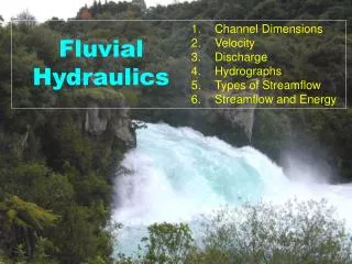
Physics of Stream Flow • Stream velocity - flow velocities are fastest near the center of the stream and slowest near the banks. • Thalweg'- the deepest part of the stream • Wetted perimeter - the length of the stream bed that is in contact with water. • Width - width of the stream at a particular point. • Depth - depth of the stream at a particular location. • Reach - any length of a stream
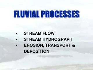
Sediment Transport • Suspended Load • Bed Load • Solution Load
Solution Load • Think Ocean Water
Bed Load Saltation: the process by which particles bounce along on the botttom of a stream
Channel Patterns • Depends on: • Sediment Load • High load more likely to be braided • Gradient (slope of stream) • Low Gradient more likely to be meandering • Human activity • Most straight channels are caused by human activity
Straight Channels • Inherently unstable • Most form sand bars which turn into meanders • Dan Neilens’ work
Braided Streams • High Gradient • Mountainous Regions • Common in glaciated landscape • Series of interconnected channels separated by bars • Carries abundant sediment
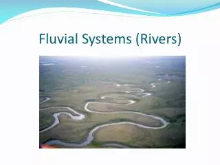
Meandering River • Mississippi River!
Meandering River • Sinuous River with many bends
Meandering River • Oxbow Lakes
Meandering River • Oxbow Lakes-how do they form?
Meandering River • Parts of a river
Drainage Patterns • Influenced by the pre-existing geology and geography of a region • 3 main types • Dendritic • Parallel • Radial
Dendritic • “Tree-like”
Fluvial Landscapes Controlled by Base Level Body of Water Carrying capacity What it can carry Controlled by Slope
Flood Plains • Much of across the river (Arkansas) • flat land that lies next to a stream or a river that experiences periodic times of flooding
Deltas • Landform formed where a river flows into a body of water, be it the ocean or a lake. • River dominated, tide dominated, Wave dominated-three things that control delta development. • Named for Greek Letter Delta, Nile delta looks like
Deltas • River Dominated – Mississippi River Delta
Deltas • Tide Dominated – Tides overwhelm freshwater input
Deltas • Wave Dominated – Longshore current carries sediment away
Alluvial Fans • Fan-shaped features - sediment • Formed at marked change in slope • Mountainous regions • Water carried sediment released when slope changes
How do they match up? • Will sketch it on board