Download
1 / 2
20 likes | 217 Vues
Name : ___________________. THE AGE OF DISCOVERY. 1. Using a blue pencil, color and label the following: Pacific Ocean, Indian Ocean, Atlantic Ocean, Straits of Magellan, Mediterranean Sea, Hudson Bay, Gulf of Mexico, and Caribbean Sea. 2. Label in Black:

E N D
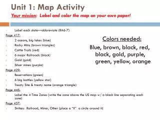
Name : ___________________ THE AGE OF DISCOVERY 1. Using a blue pencil, color and label the following: Pacific Ocean, Indian Ocean, Atlantic Ocean, Straits of Magellan, Mediterranean Sea, Hudson Bay, Gulf of Mexico, and Caribbean Sea. 2. Label in Black: North America, South America, Africa, Asia, Europe, Australia, New Zealand, Greenland, and Iceland. 3. With a red color pencil shade in Spain, then using the same color pencil trace the routes of the following Spanish explorers: Columbus, 1492 Cortez, 1519 Balboa, 1513 Magellan, 1521 Ponce de Leon, 1513 Pizarro, 1532 De Soto, 1539 4. With a yellow color pencil shade in Portugal, then using the same color pencil trace the routes of the following Portuguese explorers: Dias, 1486 Da Gama, 1497 5. With a blue color pencil shade in England, then using the same color pencil trace the routes of the following English explorers: Cabot, 1497 Hudson, 1610 6. With an green color pencil shade in France, then using the same color pencil trace the routes of the following French explorers: Cartier, 1535 La Salle, 1681 A seven-teen-year-old Italian merchant was one of the first to make a remarkable journey of exploration. He was gone twenty-five years, traveling into Asia to find markets for European merchandise. The tales of his travels amazed Europeans and opened their eyes to a world beyond the world they knew. In the 1400s, others were interested in exploring the world. Many countries were looking for new places to get resources. Use the attached map to show some of the routes of these early explorers, and then answer the questions that follow. READ ALL THE DIRECTIONS BEFORE YOU START YOUR WORK. You will find pages 41, 43, 49, 55, and 56 useful in preparing this map! 7. With a brown color pencil shade in Holland (Dutch), then using the same color pencil trace the routes of the following Dutch explorers: Hudson, 1609 8. With a purple color pencil shade in Scandinavia (Vikings), then using the same color pencil trace the routes of the following Dutch explorers: Eriksson, 1000