Explore the Rio Grande Nature Center: Virtual Tour Insights on Ecosystem Challenges
130 likes | 294 Vues
Join us on a virtual tour of the Rio Grande Nature Center as we explore the impact of flood control measures, invasive species, and water chemistry on the ecosystem. Throughout the tour, we will discuss key observations related to vegetation changes, cottonwood forests, and the effects of human interventions, such as the Cochiti Dam. Each stop will provide valuable insights into river dynamics, ecosystem health, and water quality, enhancing our understanding of this vital environment.

Explore the Rio Grande Nature Center: Virtual Tour Insights on Ecosystem Challenges
E N D
Presentation Transcript
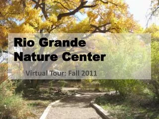
Rio Grande Nature Center Virtual Tour: Fall 2011
Objectives • During the tour we will discuss the following questions: • How have flood control measures affected the floodplain? • How have invasive species effected the ecosystem? • How does water chemistry differ between the Rio Grande and the floodplain groundwater?
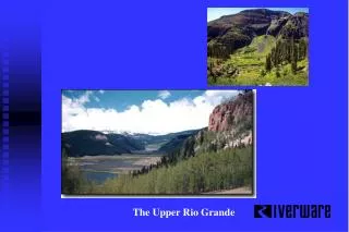
Stop 1: Old Floodplain • Water measurements will be made once we reach the river, and again when we arrive at the nature center – groundwater will be pumped from a well inside. • Observe changes in vegetation as we approach the river – note the cottonwoods in particular. The cottonwood forest is commonly referred to as the bosque. • Open forest structure; mainly large cottonwoods; few mid-hight trees • Keep in mind that the Rio Grande was originally a shallow, braided sand bed river with lots of channel switching and relatively frequent floods.
Stop 1: Old Floodplain • Water measurements will be made once we reach the river, and again when we arrive at the nature center – groundwater will be pumped from a well inside. • Observe changes in vegetation as we approach the river – note the cottonwoods in particular. The cottonwood forest is commonly referred to as the bosque. • Open forest structure; mainly large cottonwoods; few mid-hight trees • Keep in mind that the Rio Grande was originally a shallow, braided sand bed river with lots of channel switching and relatively frequent floods.
Near Stop 2 Is this the Rio Grande? How can you tell? What is the earthen structure on the right?
Stop 2 • What are these metal structures and why are they here? • Why is the levee here? • Which side is higher and why?
Stop 3: Young Floodplain • Just past the Jetty Jacks we start to notice a difference in the cottonwoods. Compare the photos below. What differences do you see? • Cottonwoods need floods to germinate and to flourish. We’ve discussed several flood control methods, but not the largest one. • Cochiti Dam was built in 1972, 50 miles upstream of ABQ. The Rio Grande waters used to flow at ~ 25000 ft3/sec, now it is between 5000 – 7000 25000 ft3/sec. This won’t move water out of the river banks. Older, near the parking lot germinated in the 30’s – 40’s younger: germinated in the 60s
Stop 4: Forest Structure • As we get closer to the Rio Grande, dense undergrowth has accumulated over time. • Three main species compete for resources: Cottonwood, Salt Cedar and Russian Olive • Salt Cedar (invasive, tap root, exudes salt, germinates at any time, burns easily) • Russian Olive (invasive, tap root, germinates at any time, burns easily) • Cottonwood (native, branching roots, germinates after a flood, fire resistant bark)
Stop 5: Rio Grande Note the effects of Cochiti Dam, in particular the river width. In the 50s, the river channel was a half mile across – now it is only 500 ft across. Here we will analyze water chemistry: Nitrogen – Zero currently, but not always. Why? DO– Dissolved oxygen. How does this relate to conditions promoting life? Hydrogen– measured to find pH. Why is this important? Conductivity – an indication of the relative amount of dissolved elements and compounds. Where do these dissolved compounds come from? • Open forest structure; mainly large cottonwoods; few mid-hight trees • Keep in mind that the Rio Grande was originally a shallow, braided sand bed river with lots of channel switching and relatively frequent floods. “rip-rap”, a structure used to reduce bank erosion Russian Olive, originally planted along RG to reduce bank erosion
Stop 6: Duck Pond • A pond is a place where water from runoff stagnates and is connected to groundwater flowing beneath towards the river. • The duck pond has a high level of nitrates. Why? • If this water table was higher it might pond in a depression before it reaches the river http://www.whoi.edu/seagrant/page.do?pid=52039
Stop 6: Groundwater • In the Nature Center we take a sample of the groundwater from a spigot and take measurements. • Why are the pH and DO lower? • What accounts for higher conductivity?