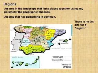

Regions
E N D
Presentation Transcript
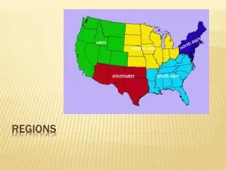
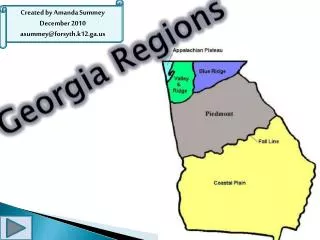
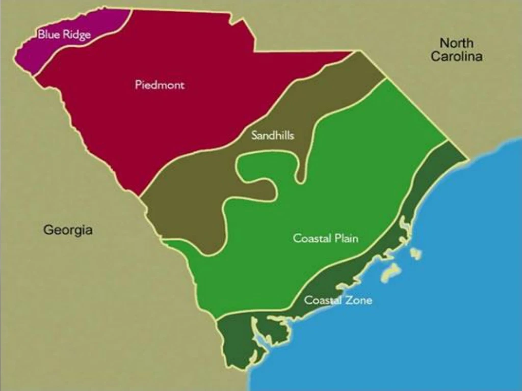
Regions • The State is divided into 2 large regions: * The Up Country * The Low Country • They are divided by the fall line-the ancient coast • These regions are divided into 6 smaller regions.
1. COASTAL ZONE • 185 miles along the Atlantic Ocean and includes: - Grand Strand - Barrier Islands - Salt Marshes
2. OUTER COASTAL PLAIN • 30 to 50 miles wide • Savanna vegetation • Location of rice and indigo plantations
3. INNER COASTAL PLAIN • Fertile soil • Location of cotton plantations • Carolina Bays- oval depressions in swamps
4. SANDHILLS • Extends along the fall line. • Contains the red hills. • Fruits and vegetables are grown here.
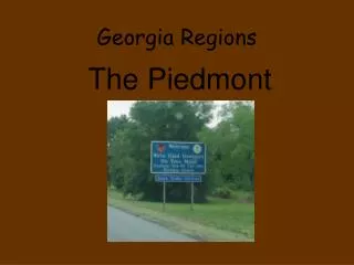
5. PIEDMONT • Means foot of the mountain. • Contains nearly 1/3rd of the state. • Rapidly flowing creeks and rivers.
6. BLUE RIDGE • High peaks and valleys • Sassafras Mt is the highest peak in the state. • Whitewater Falls the highest waterfall east of the Mississippi River.