Download
1 / 8
80 likes | 292 Vues
This educational composition focuses on the geography, climate, and societal structures of the Arabian Peninsula during the Middle Ages, as it relates to the rise and spread of Islam. Through the KWL (Know, Want to know, Learned) chart and various maps, students explore significant cities like Mecca and Medina, examine the contrast between nomadic and sedentary lifestyles, and analyze how geography influenced Islamic development. Engaging with these concepts deepens understanding of historical contexts and cultural shifts within the Islamic world.

E N D
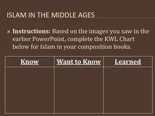
Islam in the middle ages • Instructions: Based on the images you saw in the earlier PowerPoint, complete the KWL Chart below for Islam in your composition books.
Locate the cities of Mecca & Medina and circle them Draw a box around the 3 continents surrounding the Arabian Peninsula Underline major bodies of water on your map How might geography influence the development and spread of Islam? (Copy this question down below your map & answer it) Map: Questions (Complete)
Nomads Nomadic City-dweller Sedentary Vocabulary • People who move from place to place (usually based on the seasons) • Way of life that involves moving from place to place • Person who lives in a city & doesn’t change residences • Settled lifestyle
Compare & Contrast Nomads Both City-Dwellers