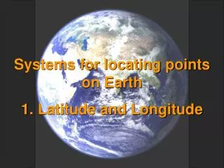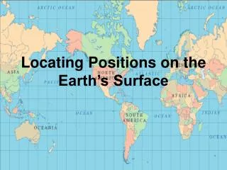
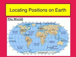
Locating Positions on Earth
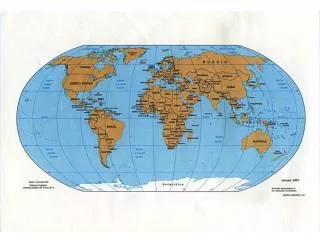
Locating Positions on Earth. Coordinate Systems. Earth scientists use the latitude-longitude coordinate system to identify locations on Earth’s surface. Latitudes and longitudes are measured in degrees (°) and minutes (‘). Each degree (°) is made up of 60 minutes (‘).

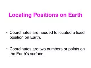
Locating Positions on Earth
E N D
Presentation Transcript
Coordinate Systems Earth scientists use the latitude-longitude coordinate system to identify locations on Earth’s surface. Latitudes and longitudes are measured in degrees (°) and minutes (‘). Each degree (°) is made up of 60 minutes (‘). Sydney, Australia = 34°0’S, 151°0’E
Latitude Theequator (0°) marks the middle of the Earth –halfway between the North and South poles.
Latitude The latitude of any point on the Earth is the angular measurement between the location and the equator using the center of the Earth as a focal point. Latitude measurements above the equator are referenced with an “N” for Northern Hemisphere. Latitude measurements below the equator are referenced with an “S” for Southern Hemisphere.
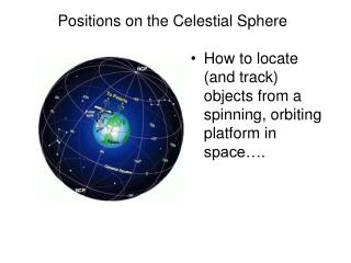
Measuring Latitude Scientists may use the position of stars in the night sky to determine the latitude of their position on the Earth’s surface. Polaris (The North Star)is seen by observers in the Northern Hemisphere. The star is positioned in the night sky nearly directly over the North Pole.
A sextant is an instrument used by an observer to determine the angle between Polaris and the horizon. Measuring Latitude Pointer starsin the “Big Dipper” constellation allow the viewer to find Polaris. Polaris observer horizon
Longitude Theprime meridian (0°) marks the middle of the Earth –halfway between the Eastern and Western Hemispheres.
Longitude Western Hemisphere Eastern Hemisphere The meridian that passes through Greenwich, England has been designated as the prime meridian (0°). The longitude of any location on the Earth’s surface is the number of degrees between the location and that of the prime meridian. Longitudes increase east and west from the prime meridian to the International Date Line (180°) Longitude measurements east of the prime meridian are referenced with an “E” for Eastern Hemisphere. Longitude measurements west of the prime meridian are referenced with a “W” for Western Hemisphere.
Measuring Longitude The longitude of a position on Earth’s surface can be determined if one studies the rate of Earth’s rotation over time.
0° 12 pm Measuring Longitude Scientists will use GMT = Greenwich Mean Time as a means by which to gauge the local time and location of longitude for an observer. 15°E 1 pm 15°W 11 am For example, if the sun has reached its highest altitude in the sky (local noon – 12 pm) at Greenwich, it will be 11am at 15° E and 1pm 15°W. Remember*** The Earth rotates from west to east at a rate of 15° per hour.
Measuring Longitude – Sample Problem “If it 6 pm at Greenwich England, at which location would it be 10 pm?” D B A C