Download
1 / 25
250 likes | 271 Vues
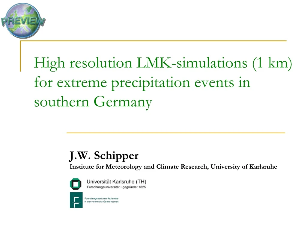
Explore high-resolution simulations of extreme precipitation events in southern Germany for risk management strategies. Evaluate simulations for events in 2002 and 2005, comparing with meteorological measurements and radar data.

E N D
High resolution LMK-simulations (1 km)for extreme precipitation events in southern Germany J.W. SchipperInstitute for Meteorology and Climate Research, University of Karlsruhe
Content • EU-Project PREVIEW • Simulations • Event 2002 • First evaluation of simulations • Event 2005
EU-IP PREVIEW Volcanoes Many risks exist ... Fires Earthquakes Windstorms Man-made Landslides Floods
EU-IP PREVIEW GEO-INFORMATION SERVICES FOR RISK MANAGEMENT ON A EUROPEAN LEVEL PREVIEW – PREVention, Information, and Early Warning
EU-IP PREVIEW PREVIEW: PREVention, Information, and Early Warning • Large `Integrated Project´ (IP) of the European Union (EU) - 56 partner! • Institute for Meteorology and Climate Research (IMK) is involved in the FLOODING part • Short-Range Forecasting (until 3 days) • Partner: IWS, BfG, LfU, IÖR, InfoTerra, Geomer • Medium-Range Forecasting (between 3 and 10 days) Partner: DWD, ECMWF, ARPA-SIM, JRC, BfG, VITUKI, Delft-Hydraulics
Time period Period with heavy precipitation: August 2002 Precipitation amout 6-12 Aug. 2002 in Bavaria, Germany • Rainfall amounts: • 6th & 7th August 2002 • 139 mm (Ruhpolding) • 133 mm (Aschau/Chiemgau) • 10th August 2002 • 78 mm (Baiern-Kleinrohrsdorf) • 62 mm (Kempten) Source: Hochwassernachrichtendienst, Bayerisches Landesamt für Wasserwirtschaft
2800 m 1000 m 7000 m 3.235 m 3.444 m Max. height: 2.918 m Orography
Simulations 7000 m2800 m1000 m August 2002 Rainfall rates 1 5 10 15 20 25 30 7000 m 2800 m Radar 1000 m Stationen mm
Simulations 7000 m2800 m1000 m August 2002 Rainfall rates 1 5 10 15 20 25 30 7000 m 2800 m Radar 1000 m Stationen mm
Cross-section result for 12th August 2002
Cross-section result for 7th August 2002
Cross-section result for 7th August 2002
C: total hits N: total events E: correct by chance Heidke Skill Score a: hit b: false alarm c: failure d: inverse hit
Heidke Skill Score Possible question: How well does my model perform on 12th August 2002? Results for 12th August 2002 (using a criterium of 10 mm/day): HSS1000m = 0.21 HSS2800m = 0.03 HSS7000m = -0.01 A disadvantage is the arbitrarily chosen criterium of 10 mm/day.
Heidke Skill Score result for 12th August 2002
2800 m resolution 7000 m resolution Heidke Skill Score result for 12th August 2002 1000 m resolution
Heidke Skill Score result for 12th August 2002
Event 2005 20.08.2005 07:00 – 21.08.2005 06:00 21.08.2005 07:00 – 22.08.2005 06:00
Event 2005 Messungenmeteorologisches Modell 20 • Aichstetten • Wiblingen Niederschlag [mm] 0 • Kempten • Breitachklamm Periode: 20. August 2005 0:00 bis 22. August 2005 23:00
Summary • Finished 10-day period in 2002 • Finished 3-day period in 2005 • Started first comparisons with measurement stations • Comparisons with radar data needs to be done