Download
1 / 19
190 likes | 303 Vues
This study investigates the road layouts of Kyoto and Karlsruhe, focusing on the effectiveness of two urban designs: orthogonal and radial. Utilizing methods such as miniature models, coin toss experiments to measure distances, and data processing through Excel, we aim to discover which layout facilitates shorter routes. The analysis includes detailed maps and photographs of significant intersections, along with a comparison of travel efficiencies. Join us in understanding urban planning dynamics and their impact on daily navigation.

E N D
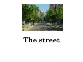
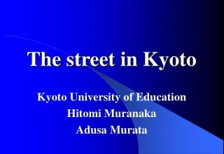
The street in Kyoto Kyoto University of Education Hitomi Muranaka Adusa Murata
The map of street HorikawaーNi-jyo KarasumaーShi-jyo
Question Answer HorikawaーGo-jyo KarasumaーNi-jyo
But … This crossing name is Shi-jyoーKarasuma
Method.1Made a miniature copy as a model of orthogonal road city or radially circle road city like this photograph. Orthogonal road city Radially circle road city
Method2.Throw two coins. Then, measure the distance and distance along road between the points which two coins fell.
Method.3 Process the collected date using EXCEL. What’s the ratio?
Result Orthogonal road city Radially circle road city
Orthogonal road city Radially circle road city
The End Thank you!