SKYWARN Training Class
SKYWARN Training Class. XX Meteorologist National Weather Service Wakefield, VA. Overview. The National Weather Service (NWS) The SKYWARN Program Where to get weather information Watches/Warnings/Advisories Safety. The National Weather Service. Who we are….

SKYWARN Training Class
E N D
Presentation Transcript
SKYWARN Training Class XX Meteorologist National Weather Service Wakefield, VA
Overview The National Weather Service (NWS) The SKYWARN Program Where to get weather information Watches/Warnings/Advisories Safety
Who we are… DOC - Department of Commerce NOAA– National Oceanic & Atmospheric Administration NWS– National Weather Service
Our office Located off of 460 in Wakefield 24/7 Operation 10 Forecasters All degreed meteorologists Hydrometeorological technicians Interns Technicians Management/Support Staff
Why the NWS is here A typical year brings: 7 Hurricanes 1,000 Tornadoes 5,000 Floods 10,000 Violent Thunderstorms Drought Conditions Somewhere in the United States Mission Statement … to provide weather, hydrologic, and climate forecasts and warnings for the United States, its territories, adjacent waters and ocean areas, for the protection of life and property and the enhancement of the national economy. Almost every week the weather is in the news
Many products issued daily Public Forecasts Aviation Forecasts Marine Forecasts Hydrology Fire Weather Severe Weather Climatology Upper Air Data Collection Quality Control Outreach Doppler Radar Observing Equipment Rain & River Gauges AWIPS Computers Networks NOAA Weather Radio Web Site
NWS Technology WSR-88D Doppler Radar Advanced Weather Interactive Processing System (AWIPS) Automated Surface Observation System (ASOS) AWIPS Data Ingest
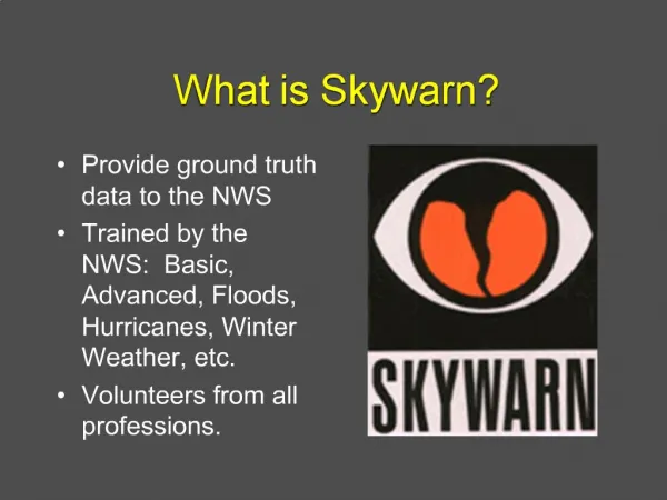
What is SKYWARN? Started in the 1970s Volunteer program with nearly 280,000 trained severe weather spotters Provide timely and accurate reports of severe weather to the National Weather Service
What is SKYWARN? At any given moment, there are roughly 2,000 thunderstorms in progress around the world. It is estimated that there are 100,000 thunderstorms each year.
Advanced SKYWARN More in-depth radar training Event reviews Upcoming classes: 6/3/09 in Hampton (6pm) 6/15/09 at the Henrico Theater (6pm) See website to sign-up http://www.erh.noaa.gov/akq/spotterinfo/skywarn.htm
NOAA Weather Radio Nationwide network of radio stations Broadcasts continuous weather information directly from the NWS 1,000 Transmitters across the U.S. Will alert you for any watches or warnings specific to your area
Where do I get one? Several manufacturers - Radio Shack, Midland, Oregon Scientific, Maxon, Reecom and Home SafeCan be found in retail stores or through the internet Will need to program your radio to receive specific information Location What products you’re alerted for
NWS Websitewww.weather.gov • Can get to any Forecast Office in the country • Also can view websites for national centers
The Wakefield website Your official weather source!
Products of NoteDuring Severe Weather Hazardous Weather Outlook (HWO) Area Forecast Discussion (AFD) Convective Outlooks Mesoscale Discussions
HWOHazardous Weather Outlook Issued by every office at least once daily Available on the internet and NWR A non-technical statement that describes: Whether or not severe weather is expected. If it is, it states: What type is expected When it is expected Where it will likely occur
AFDArea Forecast Discussion Issued at least 4 times a day Discussion of forecast Near term Short term Long term Marine Aviation Climate, Fire Weather, Equipment
Storm Prediction Center Located in Norman, OK Issues all severe thunderstorm and tornado watches After conference calls to coordinate with local offices Provide up to a 3-day outlook on severe weather
Watches Issued typically for 4-6 hours Text specifies main threats
What constitutes a “severe” thunderstorm? wind 58 mph or greater 3/4 inch or larger hail
What to look for in a warning Valid Time Location Main threat(s) More specific location info Call to Action
Storm-based warnings Now Before
When is a tornado warning issued? When radar indicates rotation near the ground More details in advanced session When a reliable report is received that a tornado is on the ground
Other watches, warnings and advisories we issue… Winter Storm Warning Snow or sleet avg of fcst range of 5”/24hrs or 4”/12hrs ¼” ice accretion Winter Weather Advisory Snow or sleet avg of fcst range of 2” Any ice accretion Blizzard Warning Winds 35mph, considerable snow and visibilities less than ¼ mile for > 3hrs
More Watches, Warnings and Advisories Wind Chill Advisory WCI -5°F VA/MD and 0°F NC Wind Chill Warning WCI -20°F VA/MD and -15°F NC Frost Advisory 33 to 36 degrees at end or beginning of growing season Freeze Warning Temps 32°F or below at end or beginning of growing season Heat Advisory Heat index 105-109° two hours or greater Excessive Heat Warning Heat index 110°F two hours or greater
More Watches, Warnings and Advisories Dense Fog Advisory Visibilities ¼ mile or less Wind Advisory 31-39mph for 1hr or more 46-57mph gusts High Wind Warning 40mph for 1hr or more 58mph gusts for any duration
What are we looking for from you? Accurate reports Don’t exaggerate or guess Timely reports Safety is first however! Reports should be in reference to listed criteria Don’t assume we know about the event Or have received reliable reports
Elements of a good report Who? Identify yourself Where? Exact location When? Start time What? What you see
Estimating Wind Speed 25-31 mph - large branches in motion 32-38 mph – whole trees in motion 39-54 mph – twigs break off, wind impedes walking 55-72 mph – damage to chimneys and TV antennas, large branches broken and some trees uprooted 73-112 mph – removes shingles, windows broken, trailer houses overturned, trees uprooted 113+ mph – roofs torn off, weak buildings and trailer houses destroyed, large trees uprooted
Tornado Intensity Determined after the event Storm Survey Team Just need areas of damage from spotters Storm Survey will also determine straight line winds vs. tornado
How do you provide reports? Will be on your spotter card
If you’re an Amateur Radio Operator… Go to www.wx4akq.org/districts for an updated list of frequencies Volunteer to serve as a Net Control Station to relay reports Can take an online training course at http://www.wx4akq.org/spt Questions? Contact Steve Crow (804) 559-5798 or KG4PEQ@WX4AKQ.org
E-Spotter Go to: http://espotter.weather.gov New way to transmit reports Goes directly to forecaster screens
Other useful websites… http://www.skywarn.org/