The Rise and Fall of Clemville: A Texas Oil Boomtown
100 likes | 210 Vues
Clemville, Texas, located six miles northwest of Markham, once thrived as a rural farming community before transforming into an oil boomtown in 1908 after the discovery of oil by F.J. Hardy. Named after F.J. Clemenger, Clemville expanded with schools, churches, and businesses during its peak. However, as the economy declined in the 1930s, the population dwindled, and by the end of the 20th century, little evidence of this once-bustling town remained. Today, it stands as a testament to the fleeting nature of opportunity in the Texas oil industry.

The Rise and Fall of Clemville: A Texas Oil Boomtown
E N D
Presentation Transcript
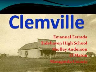
Clemville Emanuel Estrada Tidehaven High School Shelley Anderson El Maton Matagorda County
Location • Clemville is located six miles north west of Markham, Texas. • 12 miles northwest of Bay City. • Latitude is 28.9960899353 • Longitude is -96.1410751343 • The zip code for Clemville was 77414.
Info • Clemville was originally part of a land grant. • It belonged to a early colonist named Henry Parker. • It was a rural farming and ranching area until 1908. • The town was named after F.J Clemenger in his honor.
Oil Boomtown • In 1908 F.J Hardy discovered oil in Clemville. • He also started the Hardy Oil Company. • Clemville became an oil boom town. • It had schools, a church ,hotels, a general store ,and machinist shops.
Roads • F. M. Road 1468 runs through the community but there are other roads that lead off 1468. • One leads to a sub-division of about 100 residents west of Clemville called the El Dorado Community. • Another leads along the Tres Palacios River or Creek • others lead to other oil businesses, farms, ranches, and the Texas Salt and Brine Company.
School • Clemville had two schools by 1914 • In 1932, the white children were bussed to Markham to school. • The black children went to Markham to school as well. • The school building in Markham was also a one room dilapidated structure • located on a lot which is now the corner of Avenue D and 10th Street in Markham
Church The Clemville church was made in 1914. The building was destroyed and the land was bought by a neighboring farmer. The land that it was on is now used to farm.
Clemville Disappearing • As the economy slowed in the 1930s, Clemville's population began to dwindle. • By the end of the 20th century, little physical evidence remained of the once booming oil town. (2001)"
Credits Photos by • Daves Fotowerks • Google images • Shelley Anderson
References • http://www.tshaonline.org/handbook/online/articles/hnc73 • http://www.rootsweb.ancestry.com/~txmatago/historical_markers_narratives_clemville.htm • http://www.texasescapes.com/TexasGulfCoastTowns/Clemville-Texas.htm