Structure from Motion Techniques for Aerial Photography in Geographic Studies
150 likes | 258 Vues
Explore innovative Structure from Motion (SfM) techniques applied to various geological contexts, including volcanic bomb analysis and coastal erosion using aerial photography methods with unmanned aerial vehicles (UAVs), kites, and balloons. The procedure involves camera calibration, capturing overlapping images, identifying common points, and creating Digital Surface Models with texture mapping using AGISOFT PHOTOSCAN. Learn about different setups, including the Littlerock motorized kite system and balloon-based methods, and understand the significance of positioning and datum offsets in geospatial analysis.

Structure from Motion Techniques for Aerial Photography in Geographic Studies
E N D
Presentation Transcript
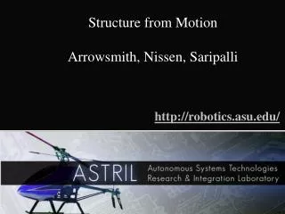
Structure from Motion Arrowsmith, Nissen, Saripalli http://robotics.asu.edu/
Littlerock Motorized kite (watch out for the wind!) $600 for kite
Main differences are datum offset (~30 m) and positioning (using camera GPS) SFM-B4 difference
Mulitview stereo and structure from motion applied to volcanic bomb, coastal cliff erosion, volcano caldera
Structure from Motion • Calibrate Camera (“performed with the same images”) • Take pictures which have some overlap • Find points which are same in both images • Determine how these points have changed between images • Create a Digital Surface Model and 'drape' the images over the model (Texture Map) • Software = AGISOFT PHOTOSCAN (<$3500)
Unmanned Aerial Vehicles also kites, balloons
Structure from motion using balloon aerial photography with Sri Saripalli $500 balloon plus gear
Lofting on He balloon Canon camera with GPS tagging and 2 second interval shooting Can lift a few kg
Example 6 image DEM =16 pixels / m = ~25 cm dem
Structure from motion orthophoto texturemap (also can generate <10 cm DEM) Click to start video