Download
1 / 13
130 likes | 317 Vues
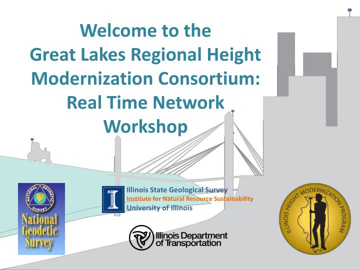
Welcome to the Great Lakes Regional Height Modernization Consortium: Real Time Network Workshop. Illinois State Geological Survey Institute for Natural Resource Sustainability University of Illinois. Project Goals.

E N D
Welcome to theGreat Lakes Regional Height Modernization Consortium:Real Time Network Workshop Illinois State Geological Survey Institute for Natural Resource Sustainability University of Illinois
Project Goals • Establish a datum-consistent vertical and horizontal statewide network of survey benchmarks. • Acquire a high-resolution digital elevation model (DEM) of the earth’s surface based upon that network.
ILHMP Project Participants • Illinois State Geological Survey • Beverly Herzog, Co-Principal Investigator • Donald Luman • Christopher Stohr • Sheena Beaverson • Illinois Department of Transportation • Amy Eller, Co-Principal Investigator • Michael Blumhoff
ILHMP Steering Committee • National Geodetic Survey • US Geological Survey • IDNR Office of Water Resources • IL Professional Land Surveyors Association • Illinois State Water Survey
Need for Height Modernization • Illinois Benchmarks • Illinois in bottom 10 states for height information • Nearly half of all known benchmarks destroyed • Illinois datums • Multiple datums in use • Stream gage datums • Memphis, Mean Gulf Level, 1912, and 1929. • Adjustments to NAVD88 are significant and complex
Need for Height Modernization • NGS Benchmarks • Benchmark condition • Red: good condition • Blue: no reported recovery • IDOT Benchmarks • about 56% survive
Need for Height Modernization • Digital Elevation Model (DEM) Data • Few counties have data • Data sets large, complex • No statewide collection • Unique parameters • Differences at county lines • Reluctance to share data
Project Activities • NIU Survey of existing information and data • Benchmarks and geodetic data returned for • 79 Municipalities • 61 Counties • 5 Watersheds • 6 States • LIDAR data acquisition • 23 Municipalities • 17 Counties
Project Activities • Run level lines in northern Illinois. • Tie to Wisconsin, Iowa and Indiana lines. • Benchmark installation and leveling work tied to Winnebago County datum. • Tie Winnebago County line to DuPage County benchmarks.
Project Activities • Acquire available LiDAR and DEM data • Pursue data sharing and archive existing data • Agreements for 15 counties • Boone* and Winnebago* • Champaign*, Kane*, McHenry* • Carroll, JoDaviess*, Grundy, Stevenson* • Adams, Henry, Lee, Ogle, Rock Island, Whiteside • Data archived for 7 counties • 1.2 Terabytes of data • 152,800 individual files
Questions?Illinois Height Modernization Programhttp://www.isgs.uiuc.edu/nsdihome/webdocs/ilhmpor Google “Illinois Height Modernization”