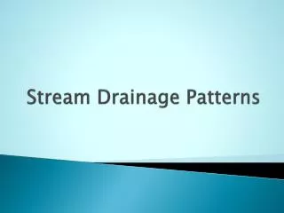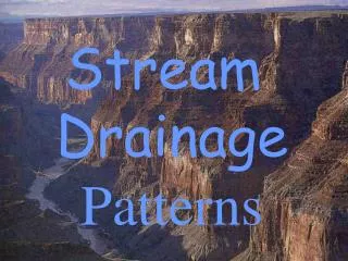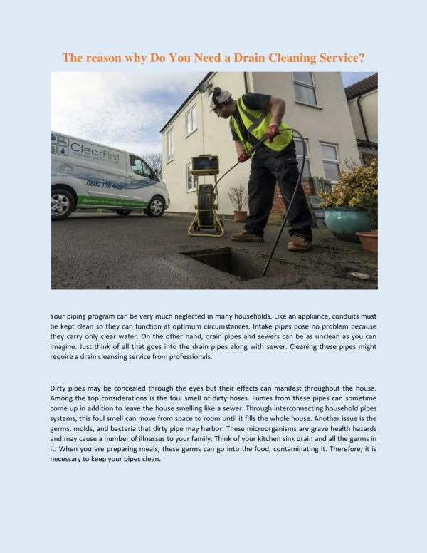
Drainage Patterns
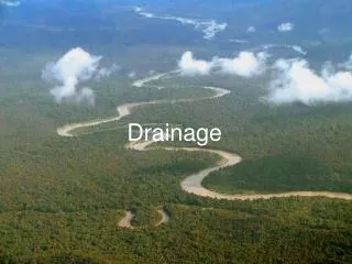
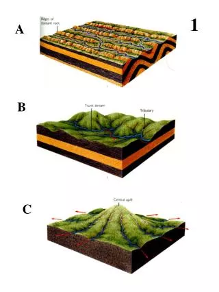
1. A. B. C. Drainage Patterns. Classify each of the drainage patterns observed in the pictures? Where in the world might these patterns occur? What causes them to form?. 2. Aerial Photo Interpretation. What kind of formation is present in this picture? Why does it form?

Drainage Patterns
E N D
Presentation Transcript
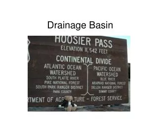
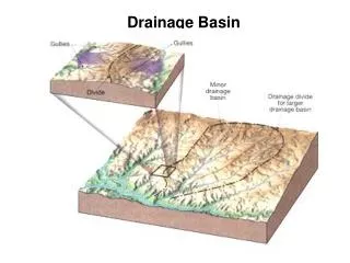
1 A B C
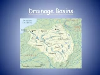
Drainage Patterns • Classify each of the drainage patterns observed in the pictures? • Where in the world might these patterns occur? • What causes them to form?
Aerial Photo Interpretation • What kind of formation is present in this picture? • Why does it form? • What type of sediment would you predict constitutes the majority of this river formation? • How do you think the sediment size might change as you approach the water?
3 C A B
Oxbow Lakes • Arrange the slides into the correct order for oxbow lake formation. • Explain under what conditions an oxbow lake might form. • What is the term for an Oxbow lake that has dried up?
4 A B C D
Meander Cross Sections • In the diagram there are three red lines. For each one (A,B,C) draw a cross section of the river. Note: A cross section is a picture of a river if you could look at it head on. (ask Mr. Blair if you need help making your diagrams. • For each cross section predict where the highest river flow velocities might occur. • For each cross section predict how different sized sediment might be deposited.
5 A B C D
Geomorphologic Cycle • Arrange the slides into the correct sequence of the Geomorphologic cycle • Identify (find the correct name for) each stage. • In which stage do you think the risk of flooding would be greatest? Explain your answer. • List three characteristics of old age rivers. • Explain the competency and capacity of an Old age river and how it would compare to a young river.
6 B A C
Topographic Map Interpretation If you were a building contractor looking to develop a new subdivision and had to choose from the three sites identified on the topographic map (A,B,C), which one would you choose? Explain why each site would or would not make an ideal location for a suburban development.