Download
1 / 16
190 likes | 401 Vues
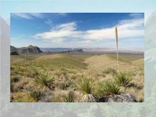
Belize National Protected Areas Policy and System Plan. Background .

E N D
Background A previous assessment project (National Protected Areas System Plan, funded by USAID) was conducted in 1994, but was focused solely on biodiversity conservation and was never fully incorporated into the national agenda. It set the stage for system-wide thinking and planning. The project was developed in 2004 through the Ministry of Natural Resources with the guiding principle that the Protected Areas System should be a major contributor to national development and poverty alleviation, while maximizing its biodiversity value and ecological functionality.
The National Protected Areas Policy and System Plan Initiative Ministry of Natural Resources – Launched in 2004 Five Themes Policy Formulation Protected Area System Assessment & Analysis Management Procedures and Sustainable Use Identification and Delivery of Economic Benefits Strengthening Management & Monitoring provided official platform for NGO assistance
NPAPSP Protected Area Analysis 18.5 %. national territory under some form of conservation management
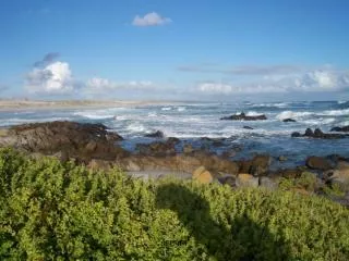
Terrestrial vs Marine Protected Areas 94 Protected areas, with archeology & private PAs 42% land in PA’s 17% is in conservation 25% extractive uses (e.g. forestry reserves) 7% marine territory in MPA (includes EEZ or ~20% for shelf) 3% in conservation 4% extractive uses .
Analysis Method MARXAN is software that delivers decision support for reserve system design. MARXAN finds reasonably efficient solutions to the problem of selecting a system of spatially cohesive sites that meet a suite of biodiversity targets. Given reasonably uniform data on species, habitats and/or other relevant biodiversity features and surrogates for a number of planning units MARXAN minimizes the cost while meeting user-defined targets. Steps: • Defined Conservation Targets • Set specific goals for each target (based largely on their “environmental services” or perceived need/threat and on comparison with widely used values) • Few ‘experts’ or accepted criteria – did the best we could
Original Marine Habitats > 30 classes x 6 zones 19 Marine Bioregions Based on habitats, sediments, bathymetry and geography Based on Australian model PDF file 5,580 kb simplified into
Marine Conservation Target Proportions (minimum value for each) Each marine bioregion: 20% Coral reefs: 30% Mangroves*: 40% High Interconnectivity**: 50% Manatee distribution: 30% Turtle nesting sites: 60% Saltwater crocodiles nesting: 60% Spawning Aggregation sites: 80% (Birds treated under terrestrial) Used only national scale data
Marine Variations (Important MARXAN choices) ‘Locked in’ approach Includes all MPAs & adds in needed gaps Clean slate approach - does not consider existing MPAs
Variation Used a compromise We chose to use a compromise approach by seeding the selection with existing MPAs
Human Needs A “cost layer” in MARXAN Identify the areas where human needs come first Or footprint / threat is highest Make these areas more ‘expensive’ to select
Combined Results Minimize conflicts between Conservation targets & human needs layers Encourages ridge to reef conservation connectivity
Combined Results: Marine results are more ‘flexible” than terrestrial results. Although some coastal/marine areas are always selected Some of these are outside existing network
Conclusions • In general there is still a lack of data that would help conservation planning and management. There is a need for a spatially enabled species database, standardized monitoring schemes. • No data was available for the deep water ecosystems of Belize and such data is clearly needed for conservation planning • Monitoring of biodiversity is still in its infancy, yet it will be important for the future management of conservation management areas.
Conclusions • There is no single ‘correct” way of designing a protected areas system and a variety of options can achieve similar results • Multiple considerations, shifting priorities and changing conditions need to be considered, with humans (not MARXAN) making final decisions • Despite a fairly high percent area in protection, the analysis shows many gaps outside the existing network. MARXAN can help us be more efficient – getting maximum conservation results with less area under conservation • Need the right mix of science, politics and practicality to turn design options into an achievable reality-based Network http://biological-diversity.info/Downloads/Report_result2_finaldraft_s.pdf
Next Steps • Production of final report including multimedia data CD • Public Dissemination • Use as a planning tool for implementation of a more rationalized and functional Protected Areas Network WWF now begins a ecoregional MCPA network assessment