Download
1 / 8
80 likes | 210 Vues
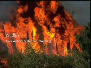
This study explores weather environments relevant to UAV operations during wildfire situations, focusing on two significant events: the High Park Fire in Colorado (2012) and the Yarnell Hill Fire in Arizona (2013). The research illustrates modeled wind patterns and gust fronts that influenced the behavior of these wildfires, highlighting extreme wind speeds and turbulence. An emphasis is placed on the critical role of monitoring wind direction and speed to ensure the safety of firefighting personnel and improve response strategies.

E N D
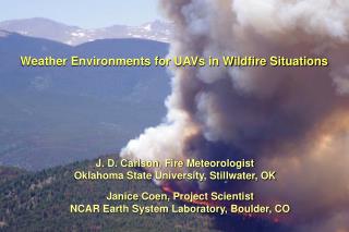
Weather Environments for UAVs in Wildfire Situations J. D. Carlson, Fire Meteorologist Oklahoma State University, Stillwater, OK Janice Coen, Project Scientist NCAR Earth System Laboratory, Boulder, CO
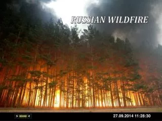
June 2012 High Park Fire (CO) 87,285 acres 259 homes destroyed
Modeled winds in W-E plane atop West and East Pine Mountain on June 10, 2012, showing near-surface winds speeds in excess of 100 mph and extreme turbulence m/s
Simulated wind in W-E plane through windstorm maximum atop West and East Pine Mountain1 frame = 1 minute, beginning 5:45 a.m. 9 June, ending ~ 3 a.m. 10 June Wind speed in plane (in m s-1) m m/s km
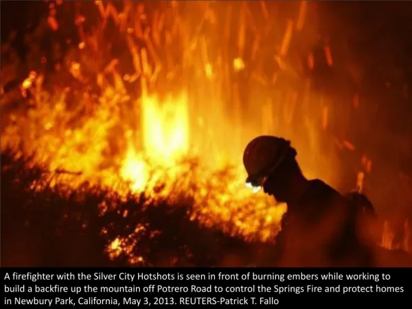
Importance of Monitoring WIND DIRECTION Yarnell Hill Fire (AZ) – June 30, 2013 19 firefighters killed around 4:45 p.m. when gust front blew southern edge of wildfire into area where they were sheltered
Simulated wind, Yarnell Hill Fire area 1 frame = 1 minute, beginning 2 a.m. June 30, ending 8:15 p.m. June 30 W/m2
Top view of modeled winds showing N/NE winds from gust front overtaking the Yarnell Hill fire and turning it suddenly southward (June 30, 2013) W/m2 W/m2