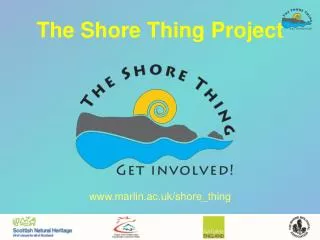
The Shore Thing Project
The Shore Thing Project. www.marlin.ac.uk/shore_thing. THE PROJECT. Why take part in the Shore Thing?. Scientists need information now on the distribution of certain marine species, from as many locations as possible in order to track patterns and changes related to climate change.

The Shore Thing Project
E N D
Presentation Transcript
The Shore Thing Project www.marlin.ac.uk/shore_thing
Why take part in the Shore Thing? Scientists need information now on the distribution of certain marine species, from as many locations as possible in order to track patterns and changes related to climate change.
Participation • National project • Began in April 2006 • Over 120 surveys completed at 71 sites around the UK • 30 schools • Over 2,000 participants
Survey Protocol • Designed using standard field techniques and MarClim methodology • Has to be followed so data can be compared • Surveys take place twice a year, summer and autumn • In two parts: • Transect survey • 20 minute timed species search
Arrival at the shore • Check tide tables – time of low water • Health & Safety – risks on the shore • Seashore Code • Find suitable site for survey or locate start point of previous survey from compass bearings/GPS reading/photographs
Finding the middle station • From local tide tables determine the height of the middle shore. • Take largest tide of the year and divide the height of high water by two. • One person stands at upper station with ranging pole • Second person walks down the shore with the other pole • Upper shore person looks along their pole at a certain height to a height on the second pole and then out to the horizon • When all our level that is the middle station.
Transect Survey • Shore sampled at 3 stations; upper, middle and lower. • Four quadrats should be placed randomly at each station. • Do not sample rockpools as they are a different habitat. • Algae and animals such as barnacles should be recorded as percentage cover.
Canopy • At the middle and lower stations you will need to record % cover of the large seaweeds.
Undercover • Gently move the canopy to one side to reveal the seaweed and animals below. • Be careful to check for any animals within the weed. They need to be included in the quadrat record.
Timed Species Search • Search for 20 minutes in one of three habitats: rockpools, boulders/crevices/overhangs or open rock • Each student searches for one or two species • Use ‘Flash’ cards to help with ID • Record abundance as:
Abundance Scale • Abundant (A): Definitely found at certain level on the shore. • Frequent (F): Definitely found after a little searching. • Rare (R): Intensive search for 1 or 2 individuals • Not found (N): Not found after searching. • Based on SACFORN
Photographs • Important to relocate survey site • Permanent record of species within quadrat • Can verify species ID
Data handling www.marlin.ac.uk/shore_thing