Download
1 / 9
90 likes | 199 Vues
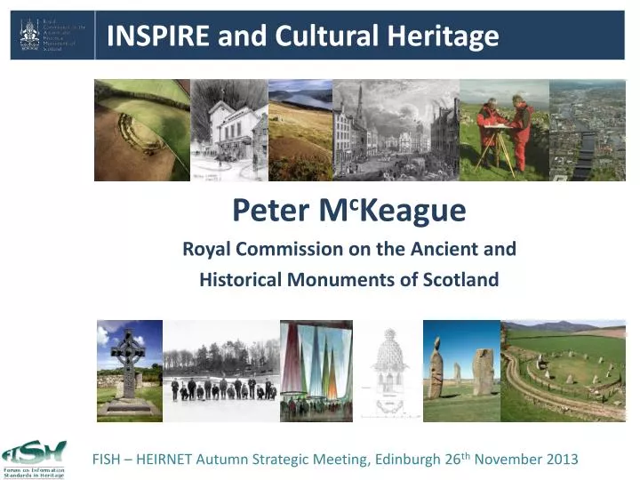
INSPIRE and Cultural Heritage . Peter M c Keague Royal Commission on the Ancient and Historical Monuments of Scotland. FISH – HEIRNET Autumn Strategic Meeting, Edinburgh 26 th November 2013. The INSPIRE Directive : where is cultural heritage? . Annex I 1. Coordinate reference

E N D
INSPIRE and Cultural Heritage Peter McKeague Royal Commission on the Ancient and Historical Monuments of Scotland FISH – HEIRNET Autumn Strategic Meeting, Edinburgh 26thNovember 2013
The INSPIRE Directive: where is cultural heritage? Annex I 1. Coordinate reference systems 2. Geographical grid systems 3. Geographical names 4. Administrative units 5. Addresses 6. Cadastral parcels 7. Transport networks 8. Hydrography 9. Protected sites Annex III1. Statistical units 2. Buildings 3. Soil 4. Land use 5. Human health and safety 6. Utility and governmental services 7. Environmental monitoring facilities 8. Production and industrial facilities 9. Agricultural and aquaculture facilities 10. Population distribution – demography 11. Area management/restriction/regulation zones & reporting units 12. Natural risk zones 13. Atmospheric conditions 14. Meteorological geographical features 15. Oceanographic geographical features 16. Sea regions 17. Bio-geographical regions 18. Habitats and biotopes 19. Species distribution 20. Energy Resources 21. Mineral resources Annex II 1. Elevation 2. Land cover 3. Ortho-imagery 4. Geology Source http://inspire.jrc.ec.europa.eu/index.cfm/pageid/2/list/7 HER data currently considered as a part of the Annex III Buildings theme
Cultural Heritage and the wider Historic Environment Annex III: Buildings - really? Upstanding archaeology Cropmark sites and landscapes Non-addressable features Lost industrial heritage
Protected Sites and the wider Historic Environment Annex I A Protected Site is defined as an “Area designated or managed within a framework of international, Community and Member States' legislation to achieve specific conservation objectives” [Directive 2007/2/EC]. “..a Protected Site is an area of land and/or sea especially dedicated to the protection and maintenance of biological diversity, and of natural and associated cultural resources, and managed through legal or othereffective means.” [International Union for the Conservation of Nature] In Scotland RCAHMS published WMS for it’s Canmore data in alignment with the Protected Sites theme The HERs have adopted the same approach McKeague, P., Corns, A. And Shaw, R. 2012 Developing a Spatial Data Infrastructure for Archaeological and Built Heritage. International Journal of Spatial Data Infrastructures Research, vol. 7 http://ijsdir.jrc.ec.europa.eu/index.php/ijsdir/article/view/239
A proposed extension to the Protected Sites Schema Spain: the Cultural Heritage Application Schema proposedasan extension of the Protected Sites Full Application Schema Fernandez Freire, C. et al: 2013 (article under review) A Cultural Heritage Application Schema: towards interoperability of Cultural Heritage Data in INSPIRE International Journal of Spatial Data Infrastructures Research, vol. 8 http://ijsdir.jrc.ec.europa.eu/index.php/ijsdir/article/view/315
Developing interoperability across boundaries Frontiers of the Roman Empire There is a need for a consistent approach to documenting spatial data for both Monuments and Events across local, regional, national and international boundaries
Metadata: one size does not fit all Metadata needs to be specific to the type of data recorded 3D surveys Geophysical survey Airborne Laser Scanning Spatial Discovery metadata: Describes the nature and content of the dataset Exploration metadata: The information required to ensure the data is appropriate for purpose Exploitation metadata: The information required to access, transfer and apply the data Shaw, R., Corns, A. and McAuley, J., 2009 Archiving Archaeological Spatial Data: Standards and Metadata in the online proceedings of Making History Interactive, CAA 2009, 22-26 March 2009, Wiliamsburg, Virginia, USA http://www.caa2009.org/articles/Shaw_Contribution187_c%20(1).pdf
Towards consistency OASIS already provides a template for gathering consistent metadata for some ‘Event’ types and allows for upload and transfer of spatial extents.
Scottish Historic Environment Data Strategy Peter McKeague peter.mckeague@rcahms.gov.uk FISH – HEIRNET Autumn Strategic Meeting, Edinburgh 26thNovember 2013