Download
1 / 12
120 likes | 220 Vues
(. Servizio Sviluppo Informatizzazione e- gov Statistica Toponomastica - Archivi. RILEVAZIONI CENSIMENTO AGRICOLTURA CENSIMENTO POPOLAZIONE EDIFICI CIVICI QUALITA’ DELLA VITA CARTOGRAFICHE GEOREFERENZIATE. PRODOTTI MISURAZIONE QUALITA’ SERVIZI SUPPORTO ATTI DI PROGRAMMAZIONE

E N D
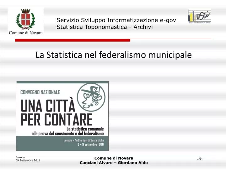
( Servizio Sviluppo Informatizzazione e-gov Statistica Toponomastica - Archivi Comune di Novara Canciani Alvaro – Giordano Aldo
RILEVAZIONI CENSIMENTO AGRICOLTURA CENSIMENTO POPOLAZIONE EDIFICI CIVICI QUALITA’ DELLA VITA CARTOGRAFICHE GEOREFERENZIATE PRODOTTI MISURAZIONE QUALITA’ SERVIZI SUPPORTO ATTI DI PROGRAMMAZIONE STUDI TERRITORIALI BASE DATI INFORMATIVA DA CONDIVIDERE Base dati statistica
" La Toponomastica e la StatisticaComunale con il GIS al servizio dei cittadini" • La tematica che volevo affrontare è relativa alla gestione e al ridisegno su base dati cartografica delle sezioni di censimento. • Grazie a questa attività propedeutica al censimento 2011, è stato possibile ridefinire ed utilizzare quale "cellula elementare“ cartografica la sezione censuaria che costituisce la base per tutte le suddivisioni territoriali
L’accesso ai cittadini è disponibile h24 dal portale comunale • www.comune.novara.it • progetto : Geocart • (i dati personali sono accessibili solo ad utenti registrati)
Sezioni censuarie ed altre suddivisioni del territorio (sez elettorale)
Tutto il territorio comunale (circoscrizioni) con nuovi confini
La «cellula sezione di censimento » contiene riferimenti (civici)
I riferimenti contenuti consentono di risalire alle banche dati alfanumeriche
DIMOSTRAZIONE APPLICATIVA GRAZIE PER L’ATTENZIONE