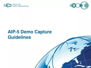
AIP-5 Demo
This document outlines the integrated agriculture monitoring system featuring various services such as NDVI, VCI, and drought analysis through advanced wiring diagrams and data flows. It incorporates tools from GMU, NASS, and CAASS for comprehensive vegetation assessments and crop analysis, utilizing data from DEM, CDL, and other sources. Users can explore tools like VegScape and CropScape to analyze agricultural data at state and county levels, ensuring informed decision-making for improved agricultural management and sustainability.


AIP-5 Demo
E N D
Presentation Transcript
AIP-5 Demo Agriculture SBA
GEOSS Ag. SBA Wiring Diagram PYXIS GMU WMS (NDVI, VCI) GMU WCS (NDVI, VCI) users GMU/NASS WFS (ASD, state/county) GMU VegScape GMU/NASS WMS (CDL) GMU/NASS WCS (CDL) GMU CropScape GMU WCS (Ag. Drought) GMU WMS (Ag. Drought) GMU GADMFS GMU DEM Explorer GMU WMS (DEM) GMU WCS (DEM) CAASS WMS (corn, wheat con.) CAAS WCS (corn, wheat con.)