Download
1 / 19
190 likes | 209 Vues
Learn about the long relationship between NOAA and FAA in providing aeronautical services, including quality reviews, obstruction verification, and instrument procedure development to enhance aviation safety.

E N D
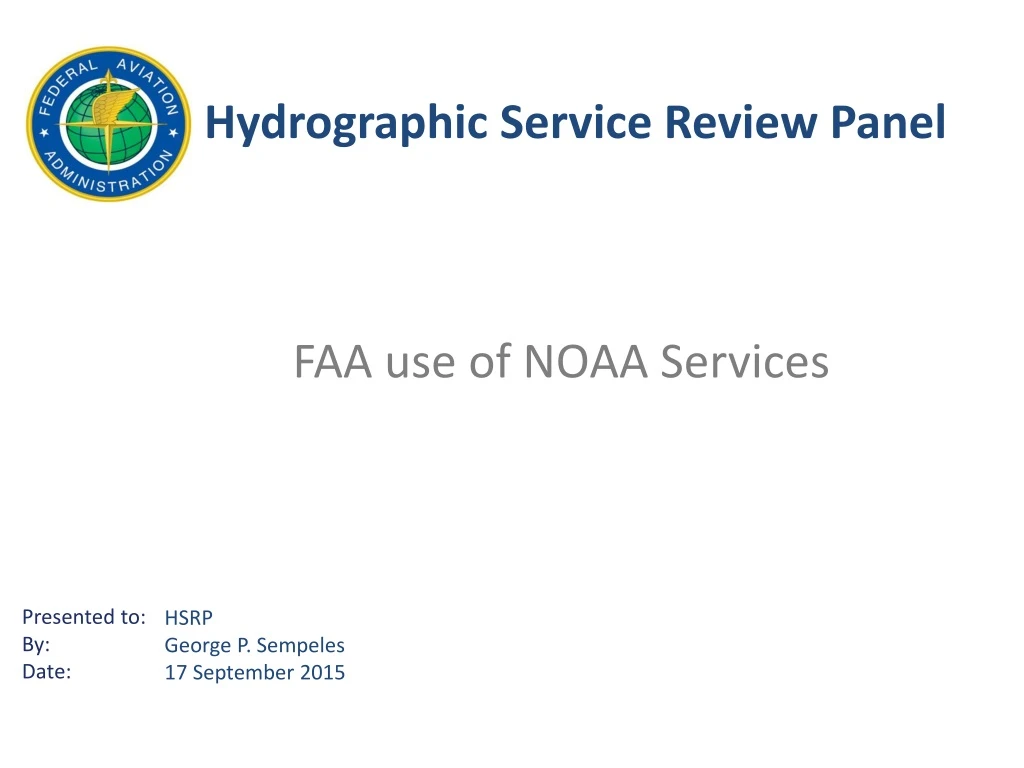
Hydrographic Service Review Panel FAA use of NOAA Services HSRP George P. Sempeles 17 September 2015
Long, long relationship Oldest scientific agency in the United States • “Survey of the Coast” established February 10, 1807 by Thomas Jefferson • Renamed “US Coast and Geodetic Survey” in 1878 • USC&GS transferred to Commerce & Labor Department in 1903 • Air Commerce Act of 1926 directs US C&GS to begin charting the nations airways and providing weather services to civilian aviation • 1927 the first aeronautical chart was published, Kansas City to Moline, Illinois • 1946 Airports Obstructions Chart program began
Long, long relationship • 1957 the first aerial photographic mission performed by C&GS • 1959 first survey using photogrammetry • NOAA created in 1970 by Richard Nixon, C&GS reorganized to National Ocean Survey of which aeronautical services were assigned • Reorganized in 1977, aeronautical services assigned to Office of Oceanic and Atmospheric Services • 1994, Airports Navigations Approach (ANA) program began • 2000, Public Law 106-181 transferred aeronautical charting functions from NOAA to the FAA
But…the NOAA-FAA relationship didn’t stop in 2000 as a result of the transfer
NOAA-FAA Interagency Agreement • Quality Review of 3rd party Aeronautical Surveys • In support of the FAA Office of Airports Surveying Geographic Information System (AGIS)program • Conduct Aeronautical Surveys in accordance with FAA Office of Airports Advisory Circulars in support of downstream requirements of: • Aeronautical Information Services • Wide Area Augmentation System Program • Transponder Landing System Program • Airway Facilities Tower Integration Lab • Performance-Based Navigation routes & procedures
NOAA-FAA Interagency Agreement • Obstruction Verification • Re-determine accuracy of legacy FAA obstacle data • Increase integrity of FAA obstacle databases improving downstream products and services • Instrument Approach Procedure development • Required Navigation Performance • Technical Advise, Studies and Public Education
Instrument Procedures As of August 20, 2015 33,119!
Airport Diagrams • Over 800 Diagrams! • Most were made from legacy Obstruction Charts
Thank You! george.p.sempeles@faa.gov 202-267-9290