Rainfall Mapping
Nov 13 2009 Thesis Proposal Defense

Rainfall Mapping
E N D
Presentation Transcript
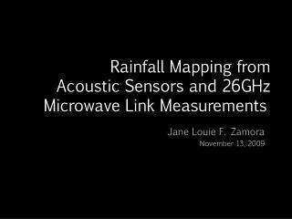
Rainfall Mapping from Acoustic Sensors and 26GHz Microwave Link Measurements Jane Louie F. Zamora November 13, 2009
Overview Visual representation of a possible scenario Acoustic Sensors -> Acoustic power 26GHz Microwave Link -> RSL
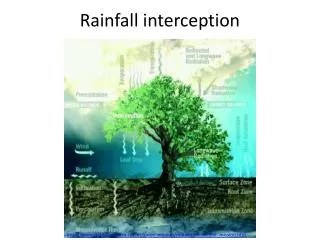
Significance • Add-on for the disaster alarm system capabilities • Describe rain at ground level • Observe rain behaviour for modelling • For use in wireless network simulation
Objectives • Statistical analysis of RSL and acoustic power e.g. PDF,CDF • Basic mapping on ground level, small area e.g. 4 km link or within campus
Initial Results Acoustic Power Locations
Proposed Work • Determine threshold for both RSL and acoustic power • Animated rain map • Model of rain based on data