Download
1 / 23
260 likes | 586 Vues
GIS APPLICATIONS IN EARTHQUAKE ENGINEERING: NORTHWEST TURKEY. by Ali Sari. Dept. of Civil Engineering, University of Texas at Austin. Main Topics of the Project. Seismicity of Turkey Seismotectonic of Turkey 1999 Turkey Earthquakes Seismic Hazard Analysis

E N D
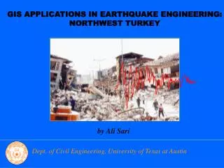
GIS APPLICATIONS IN EARTHQUAKE ENGINEERING: NORTHWEST TURKEY by Ali Sari Dept. of Civil Engineering, University of Texas at Austin
Main Topics of the Project • Seismicity of Turkey • Seismotectonic of Turkey • 1999 Turkey Earthquakes • Seismic Hazard Analysis - Seismic Hazard Mapping (Input Energy, Spectral Acceleration) - Site Effects
I. SEISMICITY OF TURKEY • Historical and recent Earthquakes • Epicenters • Magnitudes or Intensities
NAF ANATOLIAN PLATE B.C. 550-A.D. 2001, Turkey and Adjacent Areas
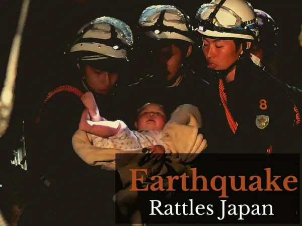
III. 1999 TURKEY EARTHQUAKES • Kocaeli Earthquake, August 17, 1999 • Duzce Earthquake, November 12, 1999
Kocaeli Earthquake, M7.4 • Caused death of more than 30,000 people and damaged 50,000 buildings • One of the largest recent earthquakes on record to hit a modern industrialized area Duzce Earthquake, M7.2 • Caused death of more than 1,000 people and damaged 2,000 buildings
IV. SEISMIC HAZARD ANALYSIS • Spectral Acceleration (Sa), input Energy (Ai); for four different periods • Beside ArcGIS software; uthaz.for, uthazall.for, nehrp.for, fortran programs are used during analysis
Algorithm for 0.3 sec. Sa with 5% Probability of Exceedance in 50 Years CharacteristicEq. Turkey-pois-3hz.char.out 3hz5pcsa.out Poisson distribution 5 % Period, 0.3 sec. Spectral Acc.
Airport, Istanbul Sa, F=m*Sa T=0.6 sec.
IV. SEISMIC HAZARD ANALYSIS Including Soil Effect
Algorithm for 0.3 sec. Sa with 5% Probability of Exceedance in 50 Yearsincluding Site Effect A3hz5pcsa.out Amplified 5 % SpectralAcc.
Airport, Istanbul NewSa, F=m*NewSa T=0.6 sec.
Conclusions • Northwest region of Turkey has high seismicity • NAF system causes severe earthquakes in this region • Seismic hazard analysis shows that the Sa and Ai values for Istanbul are high with 5 % probability of exceedance in 50 years • Soft soil amplifies the Sa and Ai values.
Acknowledges • Dr. D. Maidment, Dr. L. Manuel (UT Austin) • Mark Peterson (USGS, Colorado) • Yesim Biro, M. Cem Ozbey (Kandilli Observatory, Turkey)