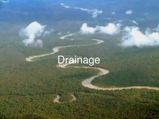
Drainage Records Modernization Guidelines
130 likes | 299 Vues
Drainage Records Modernization Guidelines. Rick Moore, GIS Specialist, Water Resources Center, MSU-Mankato. Guideline Outline. Introduction Background and Purpose Key Definitions Benefits of Drainage Records Recommendations from Drainage Authorities Funding and Collaboration

Drainage Records Modernization Guidelines
E N D
Presentation Transcript
Drainage Records Modernization Guidelines Rick Moore, GIS Specialist, Water Resources Center, MSU-Mankato
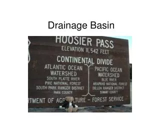
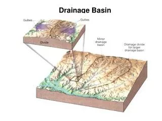
Guideline Outline • Introduction • Background and Purpose • Key Definitions • Benefits of Drainage Records • Recommendations from Drainage Authorities • Funding and Collaboration • Gathering and Preserving Historical Records • Mapping • Public Accessibility to Modern Records
Goals • Develop recommended method (s) for drainage records modernization. • This should be based on the experience of drainage authorities that have already developed modern drainage system inventories. It is recognized that many drainage authorities do not have a modern drainage inventory, and for those that do, the level of detail varies significantly.
Naming Convention & Index • The suggested Naming Convention for scanned documents is as follows: • DD_##_MT_TYPE_YYYY_PN_PT • An example of this... CD_01_PL_ORIG_1948_1_5
Digitizing/Mapping Methods-Level I Heads-Up Digitizing Manual Digitizing Coordinate Geometry (COGO)
Mapping – Level II Private Ditches Buffer Inventory Tile Outlets and Surface Risers Culvert Inventory Benefited Acres GPS
Public Accessibility • Scanned Documents Converted to PDF • Available through Web Interface