Download
1 / 13
130 likes | 153 Vues
This study focuses on the SWOT mission using Ka-band interferometry to monitor Earth's surface water, presenting successful verification experiments with the KaRIn system. Challenges such as multi-path interference and phase drift are addressed to improve measurement accuracy. Key findings demonstrate effective correction techniques, near-nadir reflectivity characterization, and accurate height measurements comparable to SRTM DEM data. This research aids in refining SWOT ground processing algorithms for precise water and land classification. Future validation with AirSWOT system is planned for further enhancements.

E N D
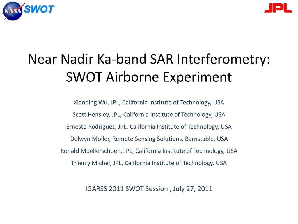
Near Nadir Ka-band SAR Interferometry:SWOT Airborne Experiment XiaoqingWu, JPL, California Institute of Technology, USA Scott Hensley, JPL, California Institute of Technology, USA Ernesto Rodriguez, JPL, California Institute of Technology, USA Delwyn Moller, Remote Sensing Solutions, Barnstable, USA Ronald Muellerschoen, JPL, California Institute of Technology, USA Thierry Michel, JPL, California Institute of Technology, USA IGARSS 2011 SWOT Session , July 27, 2011
Background • SWOT (Surface Water Ocean Topography) is a planned NASA and CNES joint mission for monitoring Earth’s surface water. • The major instrument of SWOT is KaRIn (a single pass Ka-band Radar Interferometrer) • To measure sea surface heights and terrestrial water heights with a total 120 km width swath from both left and right sides • To cover +90 % of Earth’s surface
Verification and validation through airborne experiments • Characterize power return of water surface with near nadir geometry • Test and Verify SWOT ground processing algorithms • Evaluate and predict performances of KaRIn system Need to overcome issues of airborne systems • multi-path due to reflection from antenna fairings • possible interferometric phase drift due to lack of calibration signals • Baseline calibration – particularly baseline orientation angle
Phase residual from multi-path Magnitude pattern after flattening Antenna data derived interferogram after flattening Antenna mount
Greenland Summit height map 7 km 70 km
Dependency of cross track ripples on along track (Greenland) Along track 220 km Absolute phase Near range Far range Phase drift as a function of along-track estimated from comparison with ATM height
Residual Baseline orientation angle estimation and correction Height map wrapped in 10 m After residual roll correction 7 km
Near nadir test site: Van Hook Arm 6 km 4.5 km
Water and land power comparison and application for water land classification Land Power (db) Water surface classification image (left) based on magnitude image and cross range dependent threshold. White: water surface; black: land surface
Height measurement vs DEM Height map wrapped in 50 m SRTM DEM wrapped in 50 m 33 km 5.4 km
Height measurement accuracy Height difference with SRTM DEM -10 m +10 m
Summary • Demonstrated techniques to correct phase residuals in airborne system from: • Multi-paths due to antennas • unknown interferometric phase drift • unknown residual baseline orientation angle • Characterized the near nadir water surface reflectivity • Height measurements from airborne system match very well with SRTM DEM within 10 meters for land areas. • The water surface height measurement accuracy of about 25 cm at near range is achieved. • Some techniques will be verified again with AirSWOT airborne system in near future and incorporated into SWOT ground data processing system.