Download
1 / 26
270 likes | 543 Vues
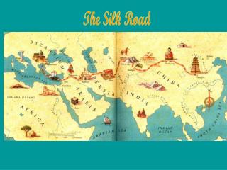
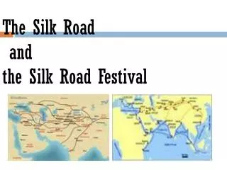
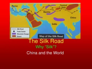
The Silk Road. This slideshow is designed to Illustrate the physiographic features at various points along the Silk Road(s).

E N D
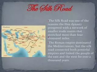
This slideshow is designed to Illustrate the physiographic features at various points along the Silk Road(s). Provide oblique angle digital illustrations from Google Earth along with ground-level photographs of those locations.Together, these should give students a better sense of the challenges faced by travelers. Take the viewer on a journey from east to west along one common route of the Silk Road. Google Earth is available for free at http://earth.google.com/ Google Earth provides you the opportunity to mark and label any place on a globe draw routes between places Produce “fly by” videos of a route at various angles and altitudes. Display physiographic features of a location or set of locations, drawn from satellite imagery. Slideshow overview
Beijing Dunhuang Samarkan Ksahgar Antioch Merv X’ian
Beijing X’ian Next Stop…X’ian
Beijing X’ian Next Stop…Dunhuang Dunhuang
Beijing X’ian Keep Moving West to Kashgar Dunhuang Kashgar
Beijing X’ian Now…On to Merv Dunhuang Kashgar Merv
Kashgar to Merv: More Deserts and Mountains Bactrian Desert Pamirs Ancient Merv
Your Journey So Far: • You have traveled over 3,000 difficult miles • You have crossed the Takla Makan Desert, the Tien Shan Mountain Range, passed through territories of hostile warriors, crossed the Pamir Mountains and the Bactrian Desert. • Only 1,532 miles to go!!!