Download
1 / 8
80 likes | 203 Vues
Interactive Mapping of Northwest Weather and Avalanche Center (NWAC) Avalanche Forecasts. EGEO 452 Spring Project Proposal Josh Jones 3/10/2011. Preliminary Project Outline.

E N D
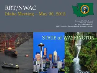
Interactive Mapping of Northwest Weather and Avalanche Center (NWAC) Avalanche Forecasts EGEO 452 Spring Project Proposal Josh Jones 3/10/2011
Preliminary Project Outline Convert daily NWAC avalanche forecasts to interactive maps by running the forecast data through ArcGIS models, which will be run on a daily basis 2. Develop a website through the Arc Server to allow interested parties to research how the avalanche forecasts affect local geographies in which they may be traveling
Avalanche Forecasting NWAC makes daily forecasts for 13 different regions in the Cascade and Olympic mountains of Washington and Northern Oregon. These forecasts produce a compass rose that shows avalanche danger based upon aspect and elevation. The rose legend dictates how to read the compass rose. Danger Rose Danger Legend = Extreme avalanche danger = High avalanche danger = Considerable avalanche danger = Moderate avalanche danger = Low avalanche danger Source: Northwest Weather and Avalanche Center, http://www.nwac.us/
DATA • The data for the avalanche forecasting is in the process of being obtained from NWAC, which will be used to run in all of the models. • Possible Supplementary Layers for the Arc Server Site: • SNOTEL site data for snowpack data • Nexrad weather data from NOAA • Links for the snow cameras in the area • Links to ski area conditions • NWAC forecasts do not cover ski areas
My Preliminary Role Assist in Developing the ArcGIS model in for the NWAC forecast data to be run Work to optimize the interactive avalanche forecast website that is currently being developed on Huxley’s Arc Server
NWAC Avalanche Forecast Site http://www.nwac.us/ Arc Server Prototype http://myweb.students.wwu.edu/~jonesj54/av
Before the Arc Server was operational I created a Swiss-Hillshade for the area around Mount Baker to use as a prototype base-layer.
QUESTIONS? Photo Source: http://thundafunda.com/5/Mountains/photos-of-Mount-Baker-Snoqualmie-National-Forest-Washing-pictures.php