Download
1 / 12
120 likes | 324 Vues
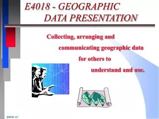
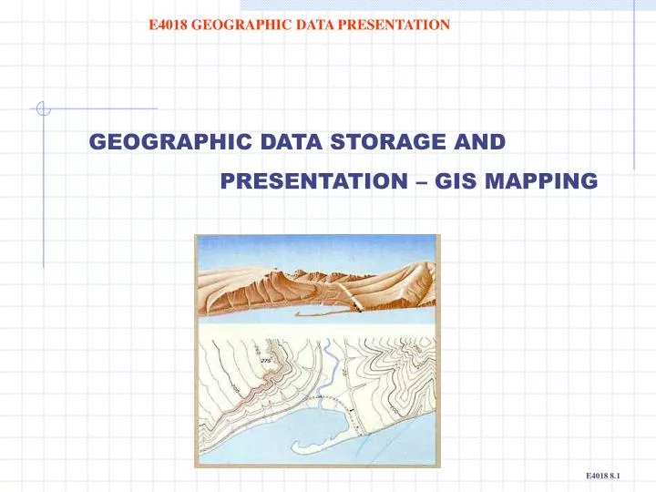
GEOGRAPHIC DATA STORAGE AND PRESENTATION – GIS MAPPING. E4018 GEOGRAPHIC DATA PRESENTATION. Example 1: Road data stored in a GIS ‘layer’. E4018 GEOGRAPHIC DATA PRESENTATION. Keeping data of the same area as separate theme layers allows: different combinations to be viewed or published

E N D
GEOGRAPHIC DATA STORAGE AND PRESENTATION – GIS MAPPING E4018 GEOGRAPHIC DATA PRESENTATION
Example 1: Road data stored in a GIS ‘layer’ E4018 GEOGRAPHIC DATA PRESENTATION • Keeping data of the same area as separate theme layersallows: • different combinations to be viewed or published • easier data management and editing. E4018: 8.2
E4018 GEOGRAPHIC DATA PRESENTATION Road data made visible with cadastral property data from another GIS ‘layer’
E4018 GEOGRAPHIC DATA PRESENTATION Contour plot display of the same area in yet another separate GIS ‘layer’
E4018 GEOGRAPHIC DATA PRESENTATION Combining the road, cadastral and contour data from the three GIS ‘layers’ can be used for designing: • drainage; • earthworks; • views from a house • etc.
Contour numbers can be added to provide height information. E4018 GEOGRAPHIC DATA PRESENTATION • Note that the numbers: • appear too large • are too many • obliterate other data • add some confusion Many GIS are still inflexible or ‘difficult’ with applying good cartographic principles and design options.
EXAMPLE 2 – COMBIND VECTOR AND RASTER MAPPING Raster data – GIS base layer. E4018 GEOGRAPHIC DATA PRESENTATION
E4018 GEOGRAPHIC DATA PRESENTATION Contour data layer
E4018 GEOGRAPHIC DATA PRESENTATION Road data layer
E4018 GEOGRAPHIC DATA PRESENTATION Cadastral data layer
E4018 GEOGRAPHIC DATA PRESENTATION Combined contour and road data layers
E4018 GEOGRAPHIC DATA PRESENTATION All vector and raster data layers provides a ‘real’ view map with the added advantages of man defined boundaries and height lines.